Am Morgen radelte ich locker auf meiner Lieblingsstrecke von Schwarzenbach durch das Blies- und Taubental über den Taubenpass nach Kirkel-Neuhäusel.
Um am Abend mich von meinem Tagwerk zu entspannen fuhr ich zuerst etwas das Kirkeler Tal hinunter um dann auf verschlungenen Wegen in den östlichen Kirkeler Wald hinaufzufahren.
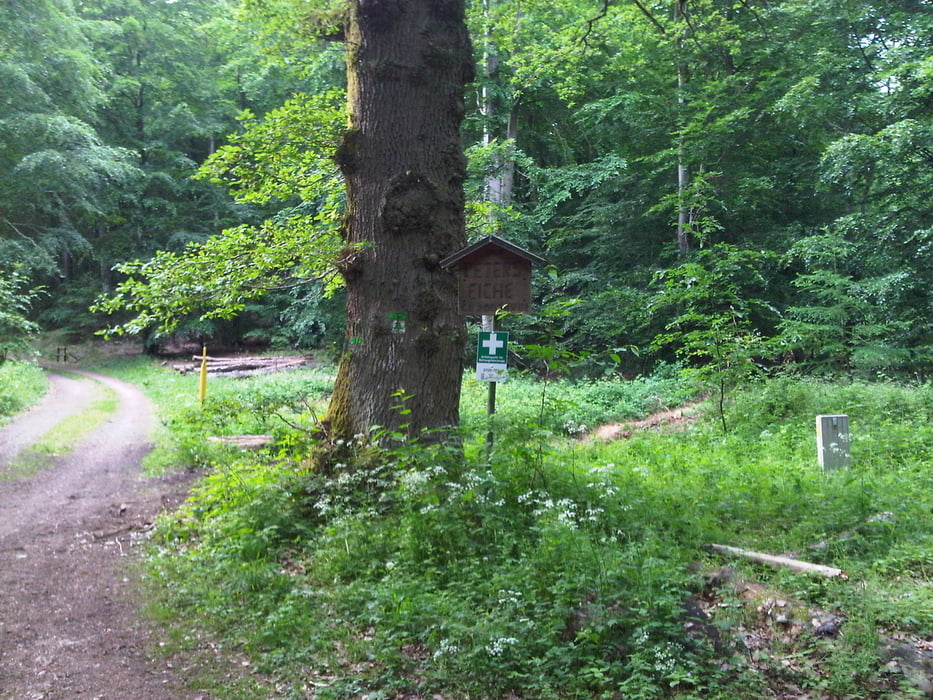
An Peters Eiche und den 7 Fichten vorbei kam ich auf die Höhe und fuhr dann auf einem ungastlichen steilen Weg in das Bliestal hinunter.
Auf dem Radweg im Tal erreichte ich den Ausgangspunkt.
Further information at
https://de.wikipedia.org/wiki/Saarpfalz-KreisTour gallery
Tour map and elevation profile
Comments

Start und Ziel in Schwarzenbach.
GPS tracks
Trackpoints-
GPX / Garmin Map Source (gpx) download
-
TCX / Garmin Training Center® (tcx) download
-
CRS / Garmin Training Center® (crs) download
-
Google Earth (kml) download
-
G7ToWin (g7t) download
-
TTQV (trk) download
-
Overlay (ovl) download
-
Fugawi (txt) download
-
Kompass (DAV) Track (tk) download
-
Track data sheet (pdf) download
-
Original file of the author (gpx) download


