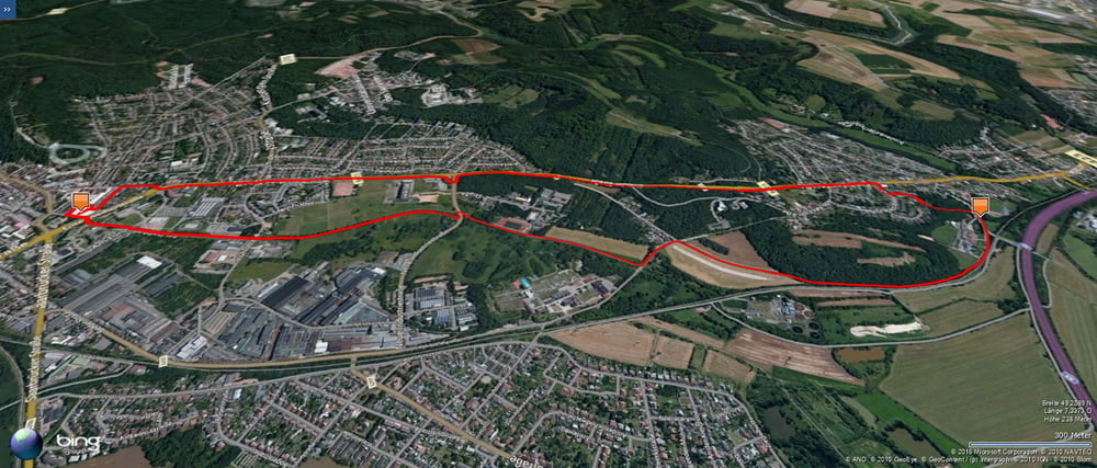
An einem total verregnetem Samstag fuhr ich mit dem Rad zum Laden nach Homburg und zurück.
Zum Glück hatte ich dann genügend Proviant um im Trockenen zu bleiben. Die Blies hatte in der Folge richtig Hochwasser.
Further information at
https://de.wikipedia.org/wiki/Saarpfalz-KreisTour gallery
Tour map and elevation profile
Minimum height 228 m
Maximum height 287 m
Comments

Start und Ziel in Homburg Schwarzenbach.
GPS tracks
Trackpoints-
GPX / Garmin Map Source (gpx) download
-
TCX / Garmin Training Center® (tcx) download
-
CRS / Garmin Training Center® (crs) download
-
Google Earth (kml) download
-
G7ToWin (g7t) download
-
TTQV (trk) download
-
Overlay (ovl) download
-
Fugawi (txt) download
-
Kompass (DAV) Track (tk) download
-
Track data sheet (pdf) download
-
Original file of the author (gpx) download
Add to my favorites
Remove from my favorites
Edit tags
Open track
My score
Rate


