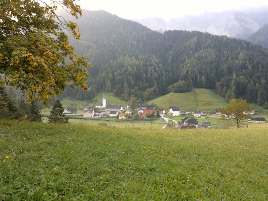
Eines der sympathischsten Karawankenvorberge ist der 1922 Meter hohe Freiberg, vielen auch als Setitsche (Setice) ein Begriff. Im Norden Zell-Pfarres aufragend, ist er über eine bewaldete Einsenkung mit dem Jauernik (1657 m) verbunden.
Tour gallery
Tour map and elevation profile
Minimum height 960 m
Maximum height 1925 m
Comments

Startpunkt und Endpunkt N46° 28.341' E14° 23.119'
GPS tracks
Trackpoints-
GPX / Garmin Map Source (gpx) download
-
TCX / Garmin Training Center® (tcx) download
-
CRS / Garmin Training Center® (crs) download
-
Google Earth (kml) download
-
G7ToWin (g7t) download
-
TTQV (trk) download
-
Overlay (ovl) download
-
Fugawi (txt) download
-
Kompass (DAV) Track (tk) download
-
Track data sheet (pdf) download
-
Original file of the author (gpx) download
Add to my favorites
Remove from my favorites
Edit tags
Open track
My score
Rate

