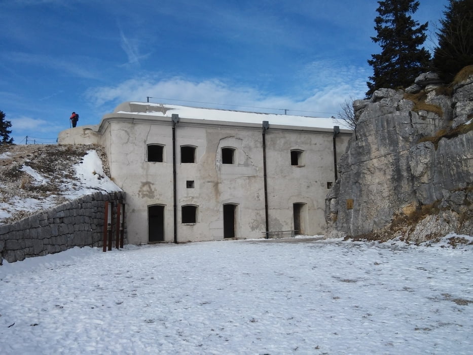
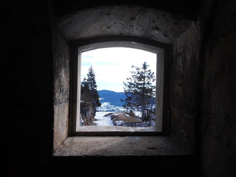
Bella escursione di 7 chilometri a carattere invernale che permette di visitare il forte Campolongo, ubicato nell’altopiano di Asiago. Esso fu utilizzato dai soldati durante gli anni della Grande Guerra.
Per maggiori info visita il mio blog.
Per maggiori info visita il mio blog.
Further information at
http://www.stradasterrata.it/forte-campolongo/Tour gallery
Tour map and elevation profile
Minimum height 1453 m
Maximum height 1722 m
Comments

GPS tracks
Trackpoints-
GPX / Garmin Map Source (gpx) download
-
TCX / Garmin Training Center® (tcx) download
-
CRS / Garmin Training Center® (crs) download
-
Google Earth (kml) download
-
G7ToWin (g7t) download
-
TTQV (trk) download
-
Overlay (ovl) download
-
Fugawi (txt) download
-
Kompass (DAV) Track (tk) download
-
Track data sheet (pdf) download
-
Original file of the author (gpx) download
Add to my favorites
Remove from my favorites
Edit tags
Open track
My score
Rate


