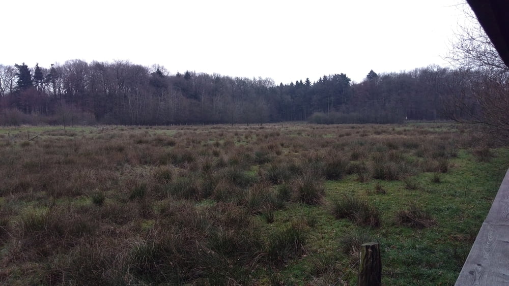
Schöne Nachmittagstour
Bin mit Auto und Fahrradträger nach Coesfeld Kreishandwerkerschaft gefahren.Dann mit dem Fahrrad zu Sirksfelder Schule vorbei und Mühldeponie zum Schloß Varlar.Von dort aus Richtung Lutum und dann aus Richtung Billerbeck wieder in Coesfeld und komplet durch zum Ausgangspunkt zurück. In Coesfeld giebs reichlich möglichkeiten Kaffee Eis oder was auch immer zu essen.
Tour gallery
Tour map and elevation profile
Minimum height 24 m
Maximum height 121 m
Comments

GPS tracks
Trackpoints-
GPX / Garmin Map Source (gpx) download
-
TCX / Garmin Training Center® (tcx) download
-
CRS / Garmin Training Center® (crs) download
-
Google Earth (kml) download
-
G7ToWin (g7t) download
-
TTQV (trk) download
-
Overlay (ovl) download
-
Fugawi (txt) download
-
Kompass (DAV) Track (tk) download
-
Track data sheet (pdf) download
-
Original file of the author (gpx) download
Add to my favorites
Remove from my favorites
Edit tags
Open track
My score
Rate


