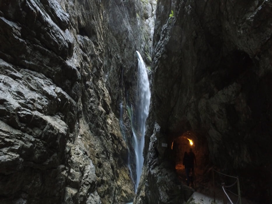
Die Wanderung durch die Höllentalklamm ist eine Rundwanderung. Über einen langen Aufstieg gelangt man zur Hütte vor der Schlucht. Nach dem endrichten eines Eintrittsgeldes gehen wir durch die beeindruckende Klamm. Den Rückweg haben wir über den Stangensteig gewählt und gehen somit oberhalb der Klamm. Kurz vor der Höllentaleingangs Hütte gelangen wir auf den uns bekannten Weg ins Tal.
Tour gallery
Tour map and elevation profile
Minimum height 774 m
Maximum height 1389 m
Comments

GPS tracks
Trackpoints-
GPX / Garmin Map Source (gpx) download
-
TCX / Garmin Training Center® (tcx) download
-
CRS / Garmin Training Center® (crs) download
-
Google Earth (kml) download
-
G7ToWin (g7t) download
-
TTQV (trk) download
-
Overlay (ovl) download
-
Fugawi (txt) download
-
Kompass (DAV) Track (tk) download
-
Track data sheet (pdf) download
-
Original file of the author (gpx) download
Add to my favorites
Remove from my favorites
Edit tags
Open track
My score
Rate


