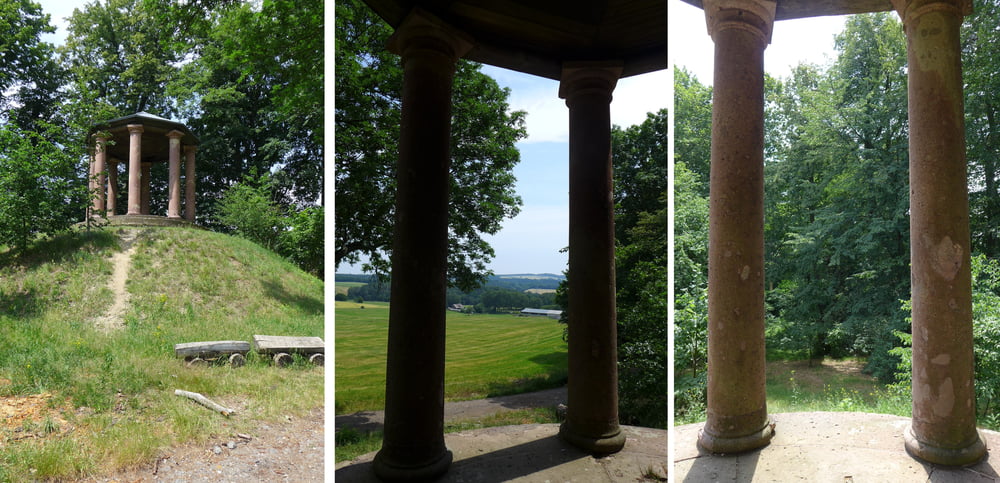
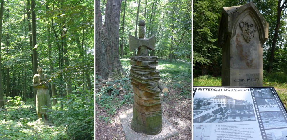
Unser Ziel bei der Tour ist der Weg. Es geht dabei rund um Oederan. Höhepunkt ist der Park des Rittergutes Börnichen. Das stattliche Rittergut selbst haben die Kommunisten anno 1947/48 geschliffen! :-(
Wir starteten auf dem Parkplatz vom Friedhof in Oederan nahe bei EDEKA an der B173. Anschließend inspizierten wir noch das Erlebnisbad Oederan bevor wir zum Rittergut gelangten.
Weiter ging es vorbei am Wollschafhof Börnichen in die Schönerstädter Höhen mit Fernblick gen Augustusburg und dann in einem Schwenk zurück nach Oederan. Nach einer kleinen Rast im Schatten der Kirche trödelten wir vorbei am Kleinen Erzgebirge zum Ausgangspunkt zurück.
Further information at
http://www.freiberg-service.de/Tour gallery
Tour map and elevation profile
Minimum height 383 m
Maximum height 491 m
Comments

GPS tracks
Trackpoints-
GPX / Garmin Map Source (gpx) download
-
TCX / Garmin Training Center® (tcx) download
-
CRS / Garmin Training Center® (crs) download
-
Google Earth (kml) download
-
G7ToWin (g7t) download
-
TTQV (trk) download
-
Overlay (ovl) download
-
Fugawi (txt) download
-
Kompass (DAV) Track (tk) download
-
Track data sheet (pdf) download
-
Original file of the author (gpx) download
Add to my favorites
Remove from my favorites
Edit tags
Open track
My score
Rate


