Login

Forgotten password?

Cookies have to be accepted!
Your browser's cookie functionality is disabled. Please enable this functionality.

Not a member yet?

Register now
Login

Available for registred users only

Log in to use this feature.

Forgotten password?

Cookies have to be accepted!
Your browser's cookie functionality is disabled. Please enable this functionality.

Not a member yet?

Register now
Filter
Categories
Advanced filters
  • Distance (km)
  • Height
Save filters Reset filter

TrackRank

QRCode

Technical data

Distance32,3 km Height480 m Way down466 m Duration02:00 h:m Date07.07.2008
Scores Author Landscape Fun factor Fitness Technique

Statistics

1572 Views 1 Score 399 Downloads 2.00 Average
Rate
  • Track data sheet
  • Directions
  • Downloads
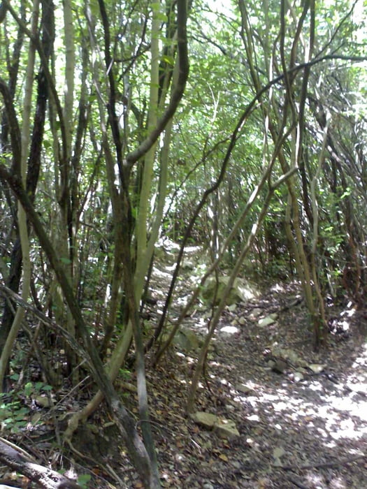
Geht zunächst im naturgeschützten Wald auf Schotter bergauf bis zur Höhe 350hm. Dort waren Schilder des MTB-Clubs Cecina, die einen traumhaften Single-Trail auspfeilten. Diese Schilder (A4-Blatt in Klarsichhülle) überstehen sicher keine Saison, deshalb GPS auf 30m einstellen, damit ihr die Abzweigung findet und dann dem Track nachfahren - es lohnt absolut! Ein enger, kniffliger, teils felsiger Single-Trail, ungefährlich und Fahrspaß pur. Anschließend führt er wieder raus auf die Schotterstraße, darauf dann zurück.

Tour gallery

Tour map and elevation profile

  • Open Street Map
  • Google
Minimum height 27 m Maximum height 393 m Detailed view

More about the tour author

berufsradler
Member since 2007

Send private message

Comments

jonnyturnschuh on 23.10.2009

Landschaftlich sehr schöne Strecke, die leider sehr viel auf Teer verläuft. GPS-Daten sehr genau. Trotz des ca. 1,7 km langen Dschungeltrails war ich nicht wirklich begeistert.
robse on 26.05.2013

Nicht empfehlenswert !!!

Bis auf den Trail ist die Strecke mit tollen Aussichten gesegnet. Der Trail allerdings ist definitiv nicht mehr fahrbar. Alles und verwüstet. Nicht fahrbar, musste Rad größtenteils tragen.

GPS tracks

Trackpoints
  • GPX / Garmin Map Source (gpx) download
  • TCX / Garmin Training Center® (tcx) download
  • CRS / Garmin Training Center® (crs) download
  • Google Earth (kml) download
  • G7ToWin (g7t) download
  • TTQV (trk) download
  • Overlay (ovl) download
  • Fugawi (txt) download
  • Kompass (DAV) Track (tk) download
  • Track data sheet (pdf) download
  • Original file of the author (gpx) download

More about the tour author

berufsradler
Member since 2007

Send private message
Share track
Add to my favorites
Remove from my favorites
Edit tags
My score
Rate
Track: Trailrunde im Hinterland von Cecina
Type: Mountain bike
Distance: 32,3 km
Evaluated on:
Duration:
Day(s)
Hour(s)
Minute(s)
Score: Landscape Fun factor Fitness Technique