Stehts den Track folgen.
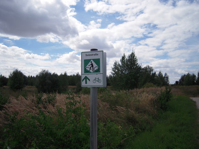
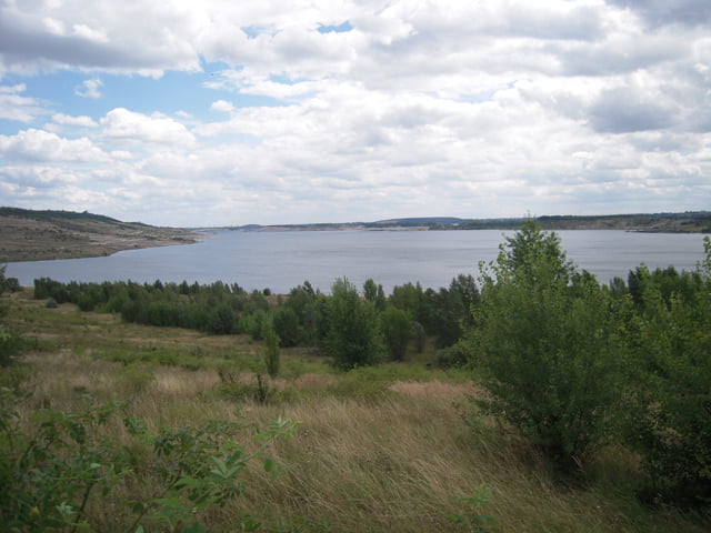
Das Südufer des Geiseltalsee ist schön erschlossen und beschildert, das Nordufer allerdings noch nicht (stand Aug.2008).Waren dort froh, auf MTBs zu sitzen.
Further information at
http://www.bike-insider.deTour gallery
Tour map and elevation profile
Minimum height 81 m
Maximum height 204 m
Comments
Tourenstart im Westen von Halle, Nietleben. S-Bahn Anbindung und Parkplätze vorhanden.
GPS tracks
Trackpoints-
GPX / Garmin Map Source (gpx) download
-
TCX / Garmin Training Center® (tcx) download
-
CRS / Garmin Training Center® (crs) download
-
Google Earth (kml) download
-
G7ToWin (g7t) download
-
TTQV (trk) download
-
Overlay (ovl) download
-
Fugawi (txt) download
-
Kompass (DAV) Track (tk) download
-
Track data sheet (pdf) download
-
Original file of the author (gpx) download
Add to my favorites
Remove from my favorites
Edit tags
Open track
My score
Rate


Schöne Runde
Und bis auf einen Regenguss an der Motocrossstrecke blieb es zum Glück auch trocken.
Und dies war auch gut so, denn das gegenwärtige Nordufer des Geiseltalsees bei Regen zu befahren könnte auch schnell in einer Schlammschlacht enden.
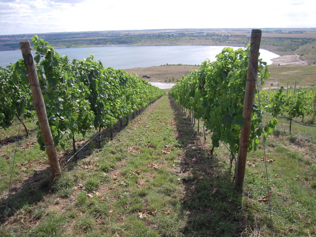
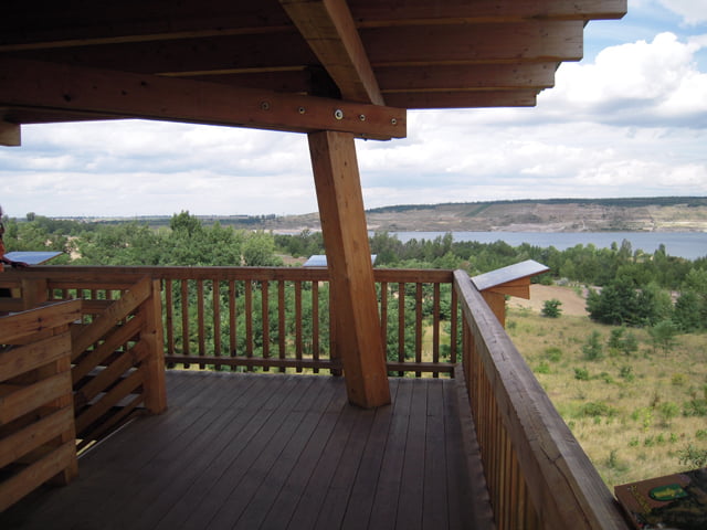
Die Tour ist wirklich empfehlenswert, besonders die verschiedenen Blicke auf den Geiseltalsee sind faszinierend und der Anstieg zum Weinberg erfordert auch etwas Kondition.
Hat wirklich Spass gemacht.
Ingo und Mario