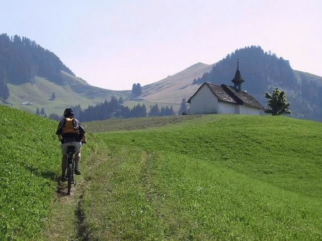
Von Charmey (887) aus, beginnt die Tour gemütlich, durch den Wald hindurch bis zum Kloster "La Valsainte". Von dort führt eine Bergstrasse bis zum Restaurant L'Auta Chia d'en Haut (1458), das zu einem gemütlichen Zwischenhalt einlädt. Die Bergstrasse ist an Sonntagen stark befahren. Von L'Auta Chia weg ist man aber dann völlig alleine unterwegs. Bei Vounetse hat man einen wunderbaren Ausblick auf die Freiburger Alpen. Von Vounetse ins Tal führt ein flotter Downhill.
Detaillierte Höhenprofile, Karten, Garmin Routenfiles,
Fotos usw. findet Ihr auf meiner Homepage.
oder hier
Tourfinder.net
Tour gallery
Tour map and elevation profile
Minimum height 831 m
Maximum height 1609 m
Comments

..nach Charmey
GPS tracks
Trackpoints-
GPX / Garmin Map Source (gpx) download
-
TCX / Garmin Training Center® (tcx) download
-
CRS / Garmin Training Center® (crs) download
-
Google Earth (kml) download
-
G7ToWin (g7t) download
-
TTQV (trk) download
-
Overlay (ovl) download
-
Fugawi (txt) download
-
Kompass (DAV) Track (tk) download
-
Track data sheet (pdf) download
-
Original file of the author (g7t) download
Add to my favorites
Remove from my favorites
Edit tags
Open track
My score
Rate


