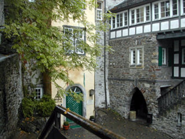
Die Freusburg bei Kirchen/Sieg
Der Weg dorthin führt in der Hauptsache durch dichtes Waldgebiet auch Giebelwald bezeichnet und ist mit X11 bezeichnet.
Die Freusburg selbst ist sehenswert. Am Ende der Wanderung wartet ein gemütliches Cafe.
Wer möchte und es sich zutraut kann die Strecke auch zurück wandern - dann sind es 17 km.
Der Tourbericht umfaßt jedoch nur die Hinstrecke.
Tour gallery
Tour map and elevation profile
Minimum height 210 m
Maximum height 509 m
Comments

BAB 45 - Abfahrt Freudenberg - Richtung Siegen - am Seelbacher Weiher Richtung Heisberg abzweigen und direkt hinter der Autobahnunterführung links Richtunf Gosenbach bis Parkplatz Lurzenbach.
GPS tracks
Trackpoints-
GPX / Garmin Map Source (gpx) download
-
TCX / Garmin Training Center® (tcx) download
-
CRS / Garmin Training Center® (crs) download
-
Google Earth (kml) download
-
G7ToWin (g7t) download
-
TTQV (trk) download
-
Overlay (ovl) download
-
Fugawi (txt) download
-
Kompass (DAV) Track (tk) download
-
Track data sheet (pdf) download
-
Original file of the author (gpx) download
Add to my favorites
Remove from my favorites
Edit tags
Open track
My score
Rate


