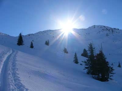
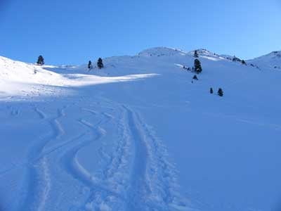
Los geht's auf der Fahrstraße von Kelchsau kommend beim Gasthaus Wegscheid. Wir folgen der Fahrstraße zum Almgelände der Trattenbachalm. Weiter geht's über herrliche Nordwesthänge auf einen Bergrücken zwischen Schneegrubenschartl und Schneegrubenspitze. Weiter nach Süden, später südwestlich zum Gipfel der Schneegrubenspitze.
Further information at
http://sigisfunwelt.de/Tour gallery
Tour map and elevation profile
Minimum height 1144 m
Maximum height 2236 m
Comments

GPS tracks
Trackpoints-
GPX / Garmin Map Source (gpx) download
-
TCX / Garmin Training Center® (tcx) download
-
CRS / Garmin Training Center® (crs) download
-
Google Earth (kml) download
-
G7ToWin (g7t) download
-
TTQV (trk) download
-
Overlay (ovl) download
-
Fugawi (txt) download
-
Kompass (DAV) Track (tk) download
-
Track data sheet (pdf) download
-
Original file of the author (g7t) download
Add to my favorites
Remove from my favorites
Edit tags
Open track
My score
Rate


