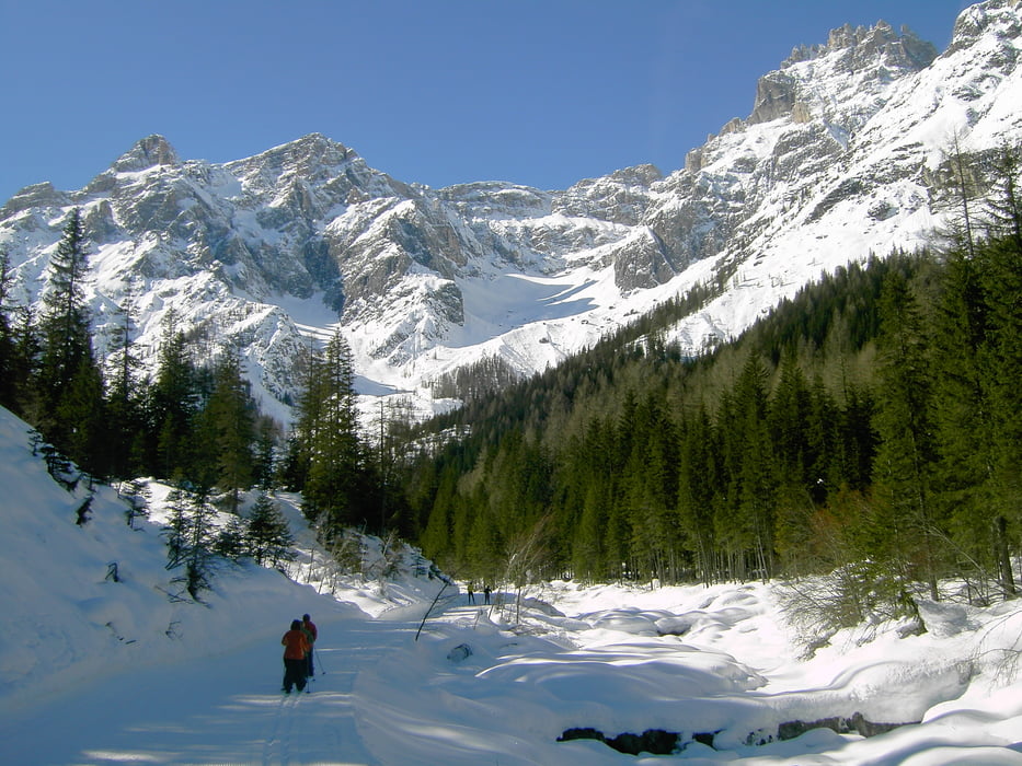
> Einstiegspunkt am Haus Sexten (Waldheim).
> Richtung Moos und dann weiter an der Rotwand vorbei ins romantische Fischleintal bis zur Talschlusshütte (Möglichkeit zur Einkehr)
> Anschließend wieder zurück zum Ausgangspunkt
Tour gallery
Tour map and elevation profile
Minimum height 1301 m
Maximum height 1527 m
Comments
GPS tracks
Trackpoints-
GPX / Garmin Map Source (gpx) download
-
TCX / Garmin Training Center® (tcx) download
-
CRS / Garmin Training Center® (crs) download
-
Google Earth (kml) download
-
G7ToWin (g7t) download
-
TTQV (trk) download
-
Overlay (ovl) download
-
Fugawi (txt) download
-
Kompass (DAV) Track (tk) download
-
Track data sheet (pdf) download
-
Original file of the author (gpx) download
Add to my favorites
Remove from my favorites
Edit tags
Open track
My score
Rate


Fischleintal
Aber es gibt ja noch andere tolle Touren bei Dir . . .
lg
Kay