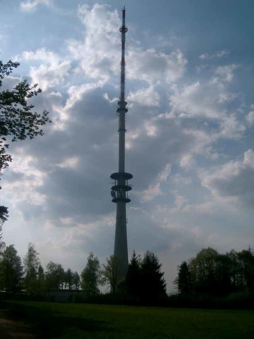
Ab dem Parkplatz hinter der Mehrzweckhalle in Tegernheim geht’s durch die Schlucht links hoch an der Kapelle vorbei dem Hohlweg folgen , beim Hochspannungsmasten dann links nach Keilberg, nach dem Fernsehturm beim Trimm-Dich Pfad geht’s dann richtig ins Gelände
Tour gallery
Tour map and elevation profile
Minimum height 329 m
Maximum height 531 m
Comments
GPS tracks
Trackpoints-
GPX / Garmin Map Source (gpx) download
-
TCX / Garmin Training Center® (tcx) download
-
CRS / Garmin Training Center® (crs) download
-
Google Earth (kml) download
-
G7ToWin (g7t) download
-
TTQV (trk) download
-
Overlay (ovl) download
-
Fugawi (txt) download
-
Kompass (DAV) Track (tk) download
-
Track data sheet (pdf) download
-
Original file of the author (g7t) download
Add to my favorites
Remove from my favorites
Edit tags
Open track
My score
Rate


ich suche einige schöne trials in der gegend. bin für tips offen.
gruß
christian
Richtig ins Gelände