

Etappen:
1. Tag:
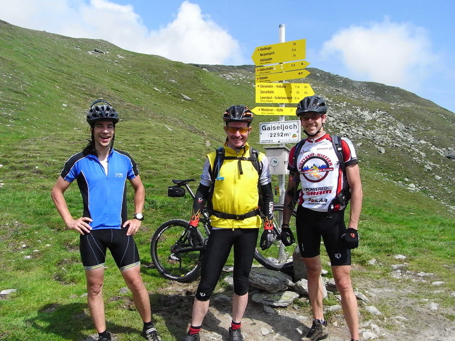
Vomperbach - Weerberg - Geiseljoch - Lanersbach - HinterTux
Dauer 05:00:00 h
Distanz 40,00 km
km/h (Mittel) 8.00 km/h
Höhenmeter 2.000 hm
2. Tag:
Hintertux - Gries - Vinaders - Sattelalm - Silbergasser - Abzweig - Enzian –
Enzianhütte
Dauer 05:45:00 h
Distanz 52,00 km
km/h (Mittel) 9.04 km/h
Höhenmeter 2.200 hm
3. Tag:
Enzian- Schlüsseljoch – Fussendrass- Kematen - Fussendrass - Pfundererjoch - Vintl - Ehrenburg - Moos – Korerhof
Dauer 06:15:00 h
Distanz 65,00 km
km/h (Mittel) 10.40 km/h
Höhenmeter 2.000 hm
4. Tag:
Korerhof - Kronplatz - Trail - St. VigilSt. - Fanes - Tranvenanzetal - Fiames
Fiames – Lago Ghedina- Cortina
Dauer 07:15:00 h
Distanz 66,00 km
km/h (Mittel) 9.10 km/h
Höhenmeter 2.700 hm
5. Tag:
Cortina - Croda da Lago - Passo Staulanza - Alleghe - Feder – Falcade
Dauer 07:15:00 h
Distanz 61,00 km
km/h (Mittel) 8.41 km/h
Höhenmeter 2.700 hm
6. Tag:
Falcade - Passo Valles - Val Venegia - San Martino - Tognola - Caoria - Riv. Refavaie
Dauer 06:00:00 h
Distanz 59,00 km
km/h (Mittel) 9.83 km/h
Höhenmeter 2.100 hm
7. Tag:
Riv. Refavaie - Malga Val Cion - Passo 5 Crici - Agnedo - Selva - Rif. Barricata
Dauer 05:45:00 h
Distanz 66,00 km
km/h (Mittel) 11.48 km/h
Höhenmeter 2.100 hm
8. Tag:
Rif. Barricata - Bivio Italia - Portale - Passo Vezzena - Luserna - Bertoldi - Passo Sommo
Passo Coe - Monte Maggio - Passo Borcola – Posina Wurde von Carsten Schymik empfohlen
Dauer 09:00:00 h
Distanz 108,00 km
km/h (Mittel) 12.00 km/h
Höhenmeter 3.000 hm
9. Tag:
Posina - Colle Xomo - Malga Campiglia - Rifugio Papa - Pasubio - Rifugio Lancia - Giazzera
Ca Bianca - Rovereto - Riva Radweg
Dauer 07:00:00 h
Distanz 73,00 km
km/h (Mittel) 10.43 km/h
Höhenmeter 1.900 hm
Gesamt: 590km 20700Hm
Further information at
http://www.biketreff-niefern.deTour gallery


Tour map and elevation profile
Minimum height
Maximum height 2329 m
More about the tour author

|
winklem |
Comments

P+R Parkplatz Vomperbach
GPS tracks
Trackpoints-
GPX / Garmin Map Source (gpx) download
-
TCX / Garmin Training Center® (tcx) download
-
CRS / Garmin Training Center® (crs) download
-
Google Earth (kml) download
-
G7ToWin (g7t) download
-
TTQV (trk) download
-
Overlay (ovl) download
-
Fugawi (txt) download
-
Kompass (DAV) Track (tk) download
-
Track data sheet (pdf) download
-
Original file of the author (gpx) download
More about the tour author
|
|
winklem |
Add to my favorites
Remove from my favorites
Edit tags
Open track
My score
Rate