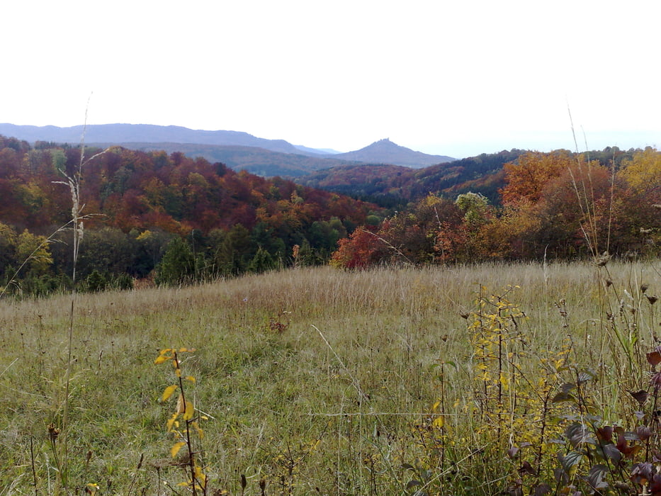
Die Tour verläuft fast ausschließich auf Schotterwegen und ist in ca. 3 Stunden zu bewältigen. Etwa die Hälfte der Strecke im Wald, deshalb sicherlich im Herbst, wenn die Blätter bunt werden ein echtes Highlight. Der Mössinger Bergrutsch und der Kornbühl auf der Albhochfläche sind sehenswerte Wegpunkte. Kurze Schiebestrecke beim Abstieg von der Albhochfläche Richtung Jungingen (ca. 5-10 Minuten).
Tour gallery
Tour map and elevation profile
Minimum height 479 m
Maximum height 874 m
Comments

GPS tracks
Trackpoints-
GPX / Garmin Map Source (gpx) download
-
TCX / Garmin Training Center® (tcx) download
-
CRS / Garmin Training Center® (crs) download
-
Google Earth (kml) download
-
G7ToWin (g7t) download
-
TTQV (trk) download
-
Overlay (ovl) download
-
Fugawi (txt) download
-
Kompass (DAV) Track (tk) download
-
Track data sheet (pdf) download
-
Original file of the author (gpx) download
Add to my favorites
Remove from my favorites
Edit tags
Open track
My score
Rate


