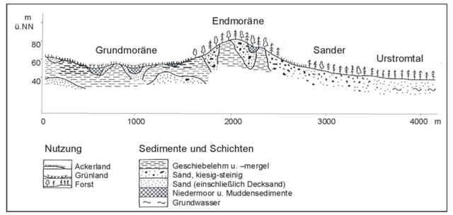
Tolle Singletrails über eine Endmoräne und um Seen. Sehenswerte Landschaften in einer an geologisch reichen Gegend, da hier die Weichsel-Eiszeit die Topographie bildete.
Am breiten Luzin auf jeden Fall den Reiherberg mitnehmen, Aussicht!
Am breiten Luzin auf jeden Fall den Reiherberg mitnehmen, Aussicht!
Tour map and elevation profile
Minimum height 83 m
Maximum height 120 m
Comments
Start ist an der Kirche von Carvitz
GPS tracks
Trackpoints-
GPX / Garmin Map Source (gpx) download
-
TCX / Garmin Training Center® (tcx) download
-
CRS / Garmin Training Center® (crs) download
-
Google Earth (kml) download
-
G7ToWin (g7t) download
-
TTQV (trk) download
-
Overlay (ovl) download
-
Fugawi (txt) download
-
Kompass (DAV) Track (tk) download
-
Track data sheet (pdf) download
-
Original file of the author (gpx) download
Add to my favorites
Remove from my favorites
Edit tags
Open track
My score
Rate


Super Trails