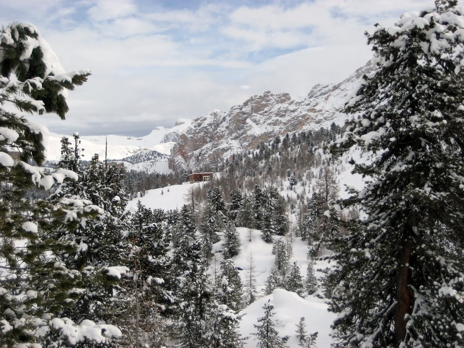
Von der Faneshütte zur Lavarellahütte. Hinauf, den Talgrund zw. Stigaspitze (Piz Stiga, links) und den Felsabsätzen der Klein-Fanes-Hochfläche (rechts). Dann weiter über gleichmäßiges Gelände bis in die Nähe der Mulde mit dem Paromsee (Lè Parom). Immer Ri.Kreuzkofelscharte. Bei der Höhenmarke 2436 m dann Richtung Nord, unterhalb des Kreuzkofel bis zur Fanesburg ( Ciastel de Fanes, 2657m). Abstieg zur und über die Schildkröte (Col Toron, 2459) weiter abwärts zum Plan de Salines. Hat man die Mulde erreicht, gelangt man in kurzer Zeit zur Lavarellahütte und weiter zum Startpunkt der Faneshütte.
Further information at
http://www.rifugiofanes.comTour gallery
Tour map and elevation profile
Comments

Mit dem Auto zur Pederühütte. Dann entweder Aufstieg zur Faneshütte 520Hm ca.1:45h oder Transfer mit Fanesexpress (Pistenraupe).
GPS tracks
Trackpoints-
GPX / Garmin Map Source (gpx) download
-
TCX / Garmin Training Center® (tcx) download
-
CRS / Garmin Training Center® (crs) download
-
Google Earth (kml) download
-
G7ToWin (g7t) download
-
TTQV (trk) download
-
Overlay (ovl) download
-
Fugawi (txt) download
-
Kompass (DAV) Track (tk) download
-
Track data sheet (pdf) download
-
Original file of the author (gpx) download


