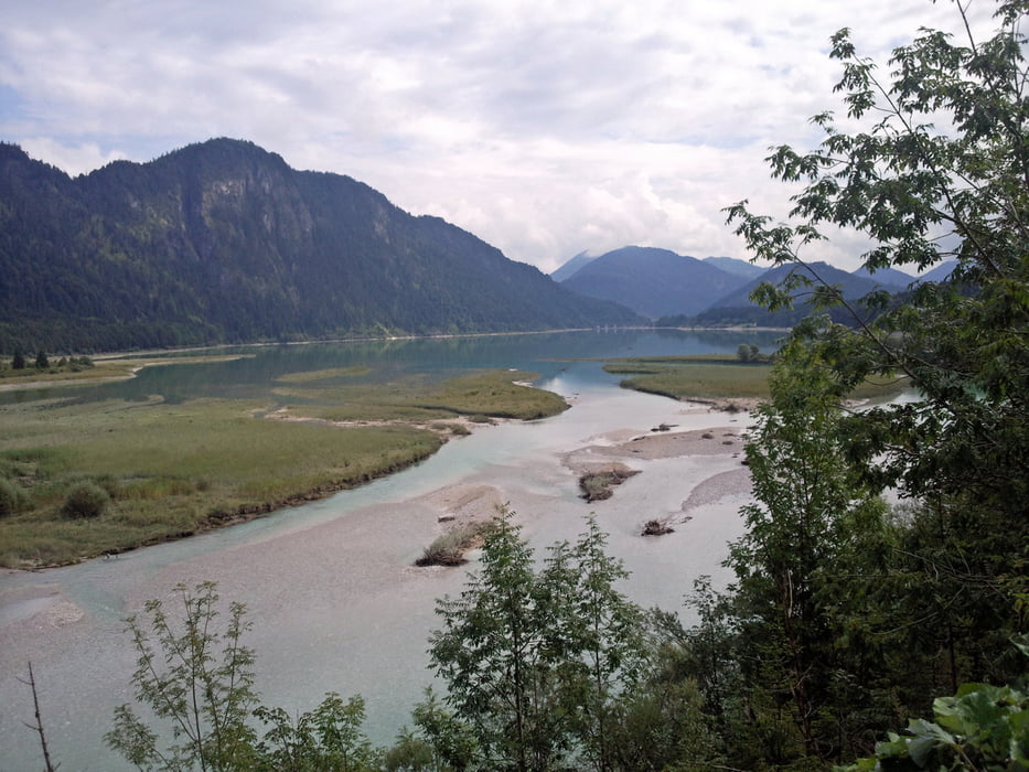
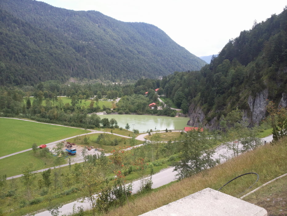
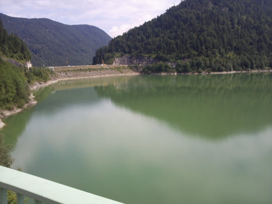
Der Start erfolgt in Wallgau an der Mautstation wo man auch sein Auto Kostenlos Parken kann. Der weg führt uns auf der Verkehrsarmen Mautstr. richtung Vorderriss, von dort aus weiter auf der stärker Befahrenen Strasse (ab Vorderiss nicht mehr Mautplichtig), die aber recht Breit ist, richtung Fall. An wenigen Stellen (siehe Track) kann man runter zum Ufer der Isar und des Sees Fahren der aber kurz vor Fall an einem Champingplatz wieder hoch zur Strasse führt. Wir folgen den Strassenverlauf der uns über die Brücke des Sylvensteins und weiter zur Staumauer führt. Wer hier nun links abfährt kommt an der Isar entlang nach München und noch weiter. Aber wir fuhren am Nordufer weiter bis zum Ende des Sees und dann wieder zurück nach Fall um uns ein gutes Mittagessen zu gönnen um anschliessend die Rückreise nach Wallgau anzutretten.
Die Tour ist führ fast jeden geeignet und Landschaftlich sehr Reizvoll und führt eigentlich immer auf Asphaltstrassen dahin.
Further information at
http://de.wikipedia.org/wiki/SylvensteinspeicherTour gallery
Tour map and elevation profile
Comments

GPS tracks
Trackpoints-
GPX / Garmin Map Source (gpx) download
-
TCX / Garmin Training Center® (tcx) download
-
CRS / Garmin Training Center® (crs) download
-
Google Earth (kml) download
-
G7ToWin (g7t) download
-
TTQV (trk) download
-
Overlay (ovl) download
-
Fugawi (txt) download
-
Kompass (DAV) Track (tk) download
-
Track data sheet (pdf) download
-
Original file of the author (gpx) download


