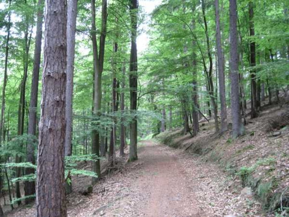
Eine kleine Nachmittagswanderung durch die kühlen Wälder. 350Hm ohne besondere Anstrengung. Das Forsthaus Aurora hat nur am Wochenende geöffnet.
Tour gallery
Tour map and elevation profile
Minimum height 109 m
Maximum height 562 m
Comments

Von der BAB 3 nach Marktheidenfeld und weiter nach Ansbach. Von hier aus bis nach Erlach auf kleinen Straßen bis nach Erlach. Ein guter Stützpunkt ist der Bauernhof Maintalhof.de
GPS tracks
Trackpoints-
GPX / Garmin Map Source (gpx) download
-
TCX / Garmin Training Center® (tcx) download
-
CRS / Garmin Training Center® (crs) download
-
Google Earth (kml) download
-
G7ToWin (g7t) download
-
TTQV (trk) download
-
Overlay (ovl) download
-
Fugawi (txt) download
-
Kompass (DAV) Track (tk) download
-
Track data sheet (pdf) download
-
Original file of the author (gpx) download
Add to my favorites
Remove from my favorites
Edit tags
Open track
My score
Rate


