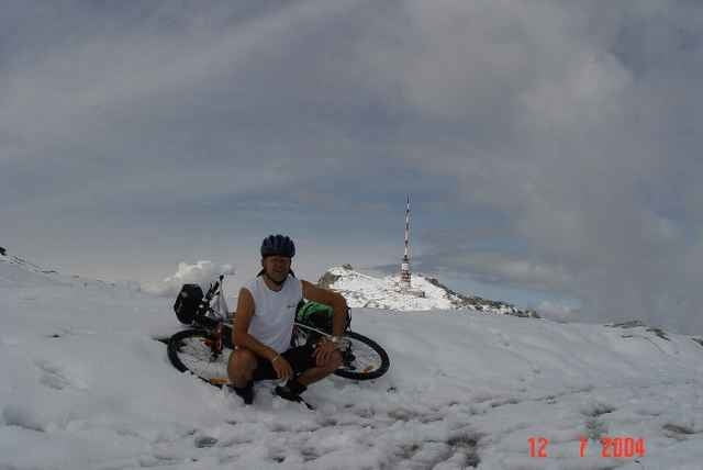
Sehr schwere Tour! Am dem Tag hatte ich teilweise bis zu 30 cm Neuschnee zu bewältigen, tragen war angesagt. Nasses Schuhwerk. Für das super Panorama hat es sich gelohnt!
Tour gallery
Tour map and elevation profile
Minimum height 492 m
Maximum height 2165 m
Comments

GPS tracks
Trackpoints-
GPX / Garmin Map Source (gpx) download
-
TCX / Garmin Training Center® (tcx) download
-
CRS / Garmin Training Center® (crs) download
-
Google Earth (kml) download
-
G7ToWin (g7t) download
-
TTQV (trk) download
-
Overlay (ovl) download
-
Fugawi (txt) download
-
Kompass (DAV) Track (tk) download
-
Track data sheet (pdf) download
-
Original file of the author (g7t) download
Add to my favorites
Remove from my favorites
Edit tags
Open track
My score
Rate


