


Pöstlingberg - Wanderung
Wir starten am Hauptplatz Linz und laufen über die Donaubrücke vorbei am Ars Elektronika.
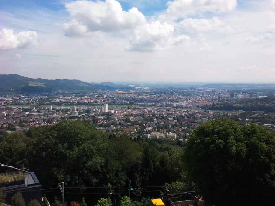
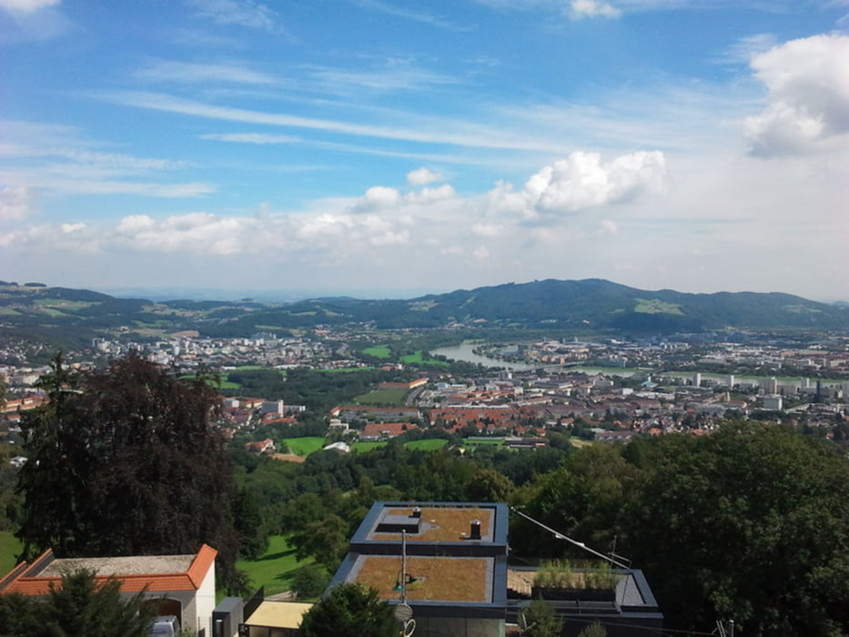
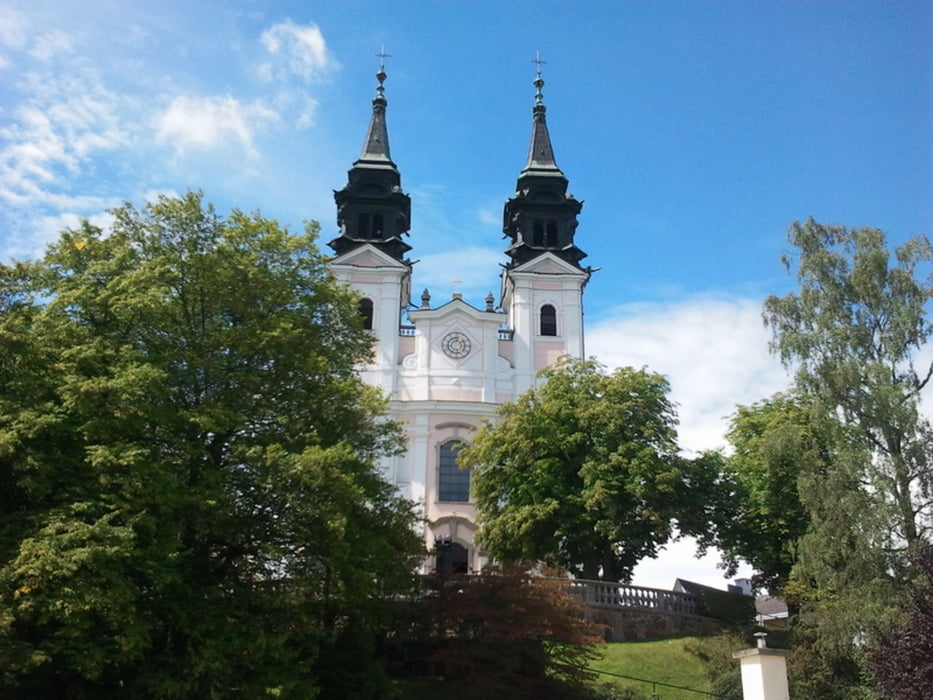
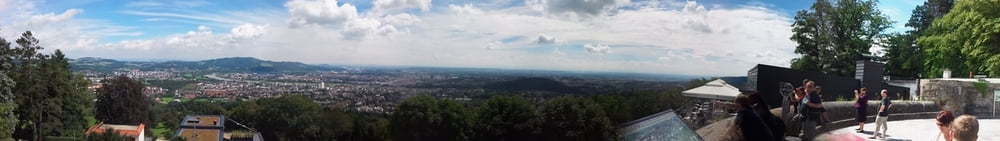
Es geht hinauf zum Pöstlingsberg. Oben sind wir außer Puste, genießen die tolle Aussicht auf Linz. Wir schauen in die Wallfahrtskirche rein. Auf der Terrasse trinken wir ein Radler und dann geht es wieder hinab nach Linz, dabei wird ein schöner Blick ins Hinterlnd freigegeben.
Fazit:
Eine schöne Wanderung
Empfehlung: Auffahrt mit der Pöstlingsbahn und den Rückweg doppelt genießen.
Further information at
http://de.wikipedia.org/wiki/P%C3%B6stlingbergTour gallery
Tour map and elevation profile
Minimum height 254 m
Maximum height 524 m
More about the tour author
|
|
Stummi |
Comments

GPS tracks
Trackpoints-
GPX / Garmin Map Source (gpx) download
-
TCX / Garmin Training Center® (tcx) download
-
CRS / Garmin Training Center® (crs) download
-
Google Earth (kml) download
-
G7ToWin (g7t) download
-
TTQV (trk) download
-
Overlay (ovl) download
-
Fugawi (txt) download
-
Kompass (DAV) Track (tk) download
-
Track data sheet (pdf) download
-
Original file of the author (gpx) download
More about the tour author
|
|
Stummi |
Add to my favorites
Remove from my favorites
Edit tags
Open track
My score
Rate