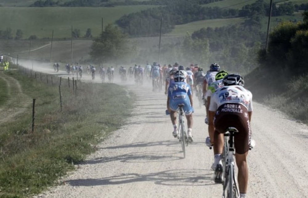
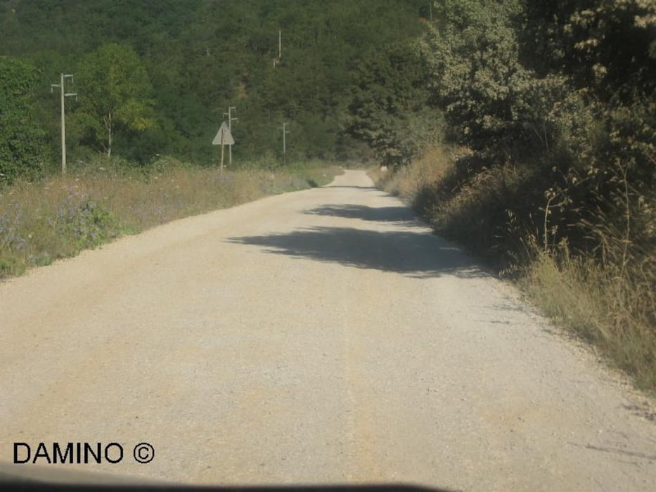
"Strada Bianche" Tour. Sehr gut geeignet für Cross- und Trekkingräder. Die Runde verläuft zu 80% auf geschotterten Wegen. Start und Ziel in Oberfürberg am Hotel Forsthaus. Ich empfehle entgegen dem Uhrzeigersinn zu fahren. Für diese Ausfahrt ist kein gefedertes Rad nötig. Bis auf eine steile Rampe kurz nach Dietenhofen auch keine nennenswerten Anstiege.
Tour gallery
Tour map and elevation profile
Minimum height 274 m
Maximum height 417 m
Comments

Start und Ziel: Das NH-Hotel Forsthaus in Fürth-Oberfürberg, direkt am Stadtwald gelegen.
GPS tracks
Trackpoints-
GPX / Garmin Map Source (gpx) download
-
TCX / Garmin Training Center® (tcx) download
-
CRS / Garmin Training Center® (crs) download
-
Google Earth (kml) download
-
G7ToWin (g7t) download
-
TTQV (trk) download
-
Overlay (ovl) download
-
Fugawi (txt) download
-
Kompass (DAV) Track (tk) download
-
Track data sheet (pdf) download
-
Original file of the author (gpx) download
Add to my favorites
Remove from my favorites
Edit tags
Open track
My score
Rate


