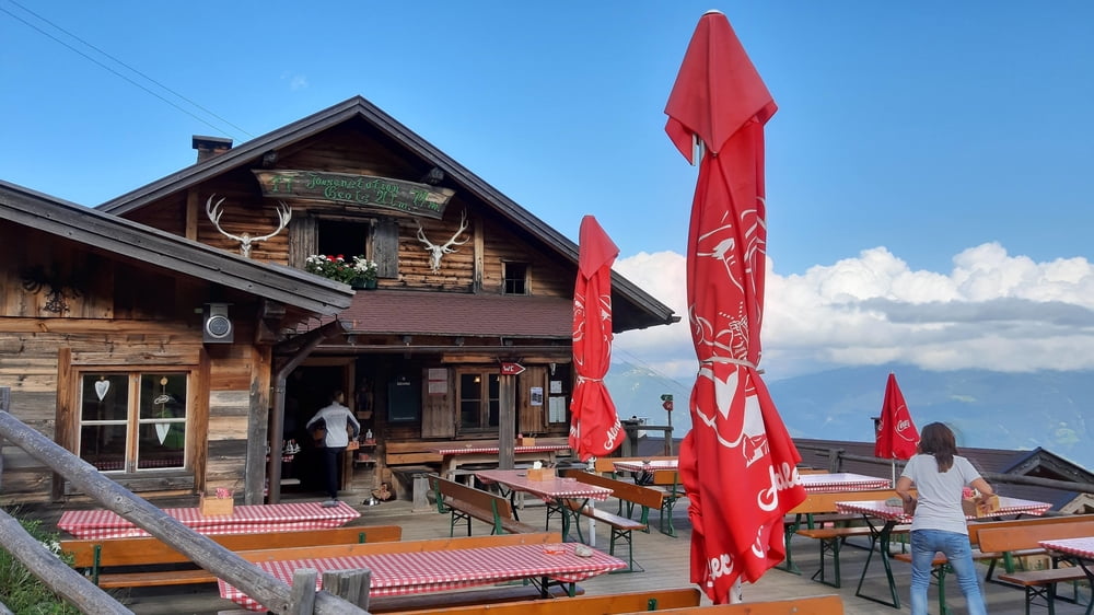
Start in Schwaz am Bahnhof. Es beginnt sehr steil auf Asphalt. Bi sauf einen kurzen trail auf Teer weiter bis Egertboden (980 m). Ab da schöner Schotter. Bis Grafenast weiter ziemlich steil. Ab da wird's gemütlicher. Auf der Geolsalm bin ich gut eingekehrt.
Galería de rutas
Mapa de la ruta y perfil de altitud
Minimum height 571 m
Maximum height 1734 m
Comentarios

Start und Ziel in Schwaz am Bahnhof.
Tracks GPS
Puntos del track-
GPX / Garmin Map Source (gpx) download
-
TCX / Garmin Training Center® (tcx) download
-
CRS / Garmin Training Center® (crs) download
-
Google Earth (kml) download
-
G7ToWin (g7t) download
-
TTQV (trk) download
-
Overlay (ovl) download
-
Fugawi (txt) download
-
Kompass (DAV) Track (tk) download
-
Hoja de ruta (pdf) download
-
Original file of the author (gpx) download
Añadir a mis favoritos
Eliminar de mis favoritos
Edit tags
Open track
Mi valoración
Rate


