Login

Login oublié ?

Cookies have to be accepted!
Your browser's cookie functionality is disabled. Please enable this functionality.

Not a member yet?

Register now
Login

Available for registred users only

Log in to use this feature.

Login oublié ?

Cookies have to be accepted!
Your browser's cookie functionality is disabled. Please enable this functionality.

Not a member yet?

Register now
Filter
Catégories
Advanced filters
  • Longueur (km)
  • Altimètre
Enregistrer le filtre Reset filter

TrackRank

QRCode

Technical data

Longueur45,7 km Altimètre591 m Way down616 m Durée03:05 h:m Date18.05.2012
Evaluations Author User Paysage Aspect amusement Condition Technique

Statistiques

1442 Vues 1 Evaluation 114 Téléchargements 5.00 Moyenne
Rate
  • Feuille de tours
  • Arrivée
  • Téléchargements
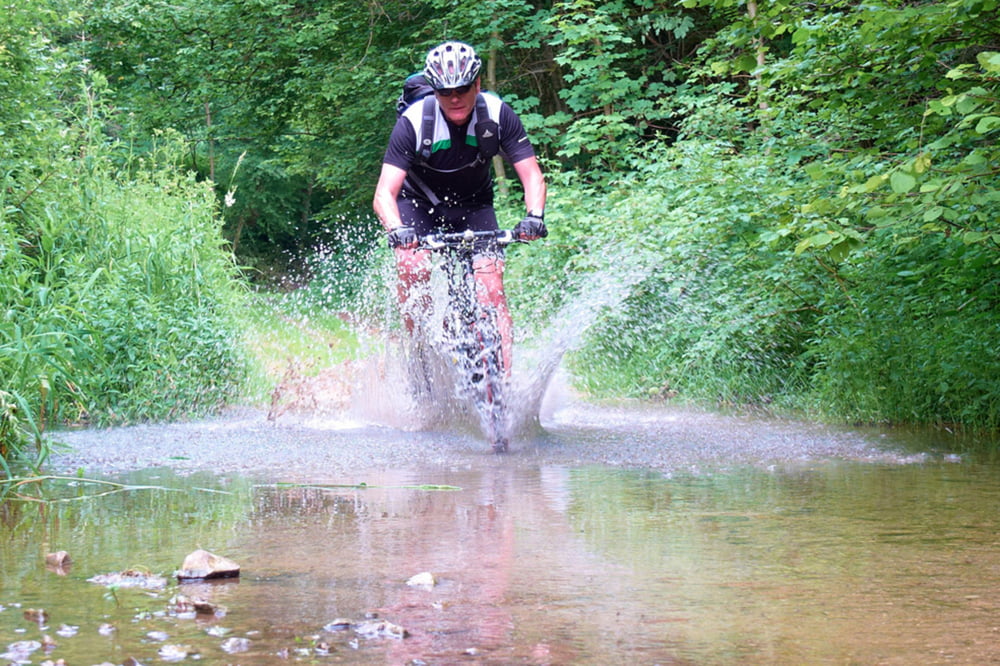
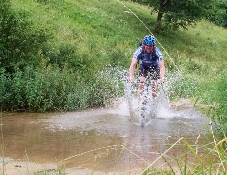
Nicht weniger als 4 Bachdurchfahrten. Habe die Tour im November entdeckt. Die nassen Füße waren ok. Bei knöchelhohen Schuhen sollten die Socken trocken bleiben, im Sommer ist es eh "wurscht" wenn der Fuß naß wird !  Interessante kurzweilige Tour.

Galerie du tour

Carte du tour et altitude

  • Open Street Map
  • Google
Minimum height 344 m Maximum height 549 m Vue de détail

More about the tour author

mbraune
Member since 2010

Send private message

Commentaires

Start wie immer bei mir in Schwarzenbruck, Laubendorfer Straße gleich neben dem Ochenbrucker Bahnhof.  S-Bahn Linie Nürnberg Neumarkt  S3

Tracks GPS

Trackpoints
  • GPX / Garmin Map Source (gpx) download
  • TCX / Garmin Training Center® (tcx) download
  • CRS / Garmin Training Center® (crs) download
  • Google Earth (kml) download
  • G7ToWin (g7t) download
  • TTQV (trk) download
  • Overlay (ovl) download
  • Fugawi (txt) download
  • Kompass (DAV) Track (tk) download
  • Feuille de tours (pdf) download
  • Original file of the author (gpx) download

More about the tour author

mbraune
Member since 2010

Send private message
Share track
Add to my favorites
Remove from my favorites
Edit tags
My score
Rate
Tour: Ho Chi Minh Pfad
Cat.: Mountainbike
Longueur: 45,7 km
Evaluated on:
Durée:
Day(s)
Hour(s)
Minute(s)
Evaluation: Paysage Aspect amusement Condition Technique