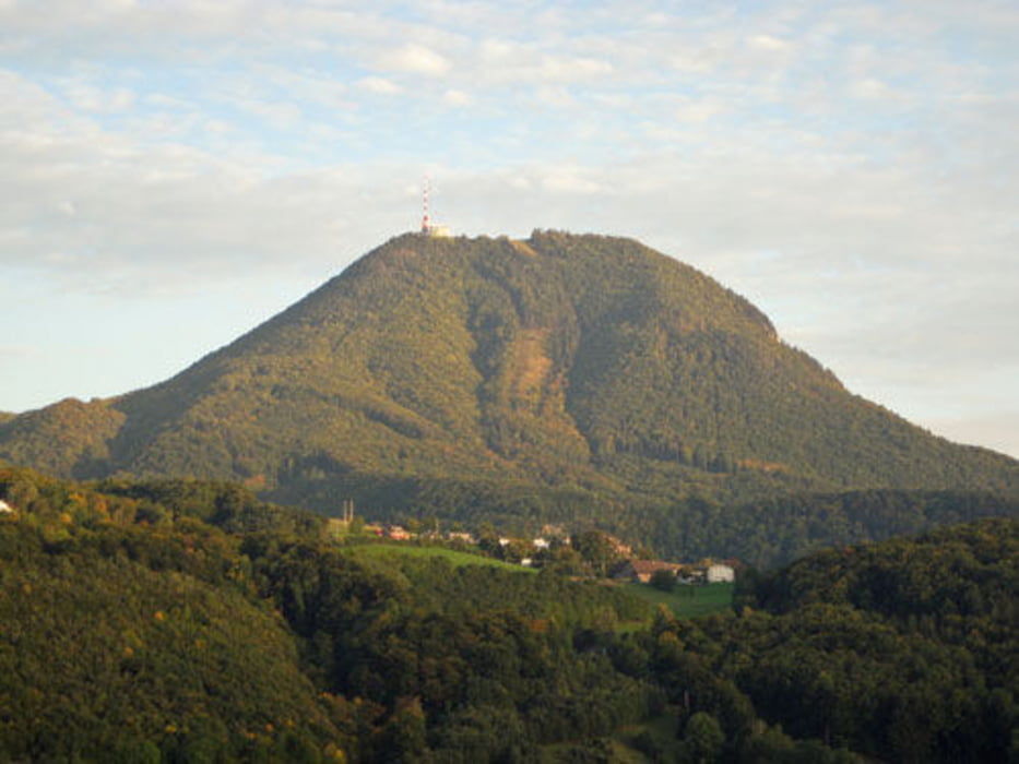
Gaisbergrunde - besonders bei Regenwetter dirtlastige Tour, hauptsächlich Schotter, Single Trail und Waldwege. Die Tour startet an der Linzer Bundesstrasse, führt über den Dax Lueg, Heuberg, Schwaighofen, Koppl, Nockstein, Oberwinkel auf die Zistel. Downhill nicht inkludiert ;).
Carte du tour et altitude
Minimum height 433 m
Maximum height 953 m
Commentaires

Start an der Kreuzung Linzer Bundesstrasse und Bachstrasse. Drei Eichenweg geht nach Bushaltestelle Bachstrasse rechts ab.
Tracks GPS
Trackpoints-
GPX / Garmin Map Source (gpx) download
-
TCX / Garmin Training Center® (tcx) download
-
CRS / Garmin Training Center® (crs) download
-
Google Earth (kml) download
-
G7ToWin (g7t) download
-
TTQV (trk) download
-
Overlay (ovl) download
-
Fugawi (txt) download
-
Kompass (DAV) Track (tk) download
-
Feuille de tours (pdf) download
-
Original file of the author (gpx) download
Add to my favorites
Remove from my favorites
Edit tags
Open track
My score
Rate


