Login

Login oublié ?

Cookies have to be accepted!
Your browser's cookie functionality is disabled. Please enable this functionality.

Not a member yet?

Register now
Login

Available for registred users only

Log in to use this feature.

Login oublié ?

Cookies have to be accepted!
Your browser's cookie functionality is disabled. Please enable this functionality.

Not a member yet?

Register now
Filter
Catégories
Advanced filters
  • Longueur (km)
  • Altimètre
Enregistrer le filtre Reset filter

TrackRank

QRCode

Technical data

Longueur26,8 km Altimètre1123 m Way down1121 m Durée03:05 h:m Date06.08.2012
Evaluations Author Paysage Aspect amusement Condition Technique

Statistiques

572 Vues Evaluations 71 Téléchargements Moyenne
Rate
  • Feuille de tours
  • Arrivée
  • Téléchargements

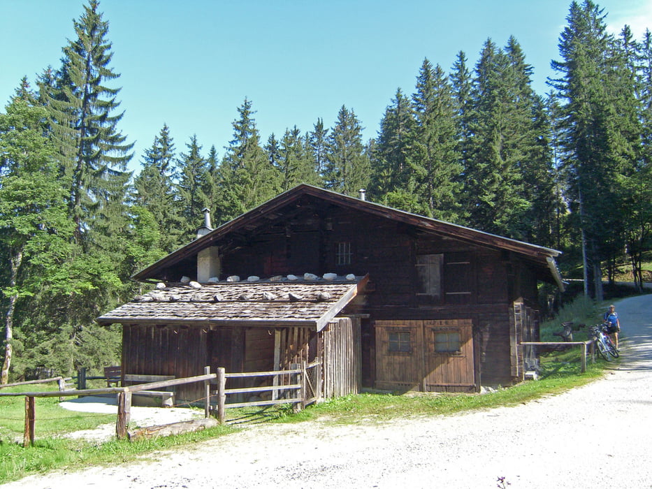
Diese Tour gehört zu meinen Lieblingstouren und unterscheidet sich zur anderen Tour (/de/touren/detail.103603.html) dadurch, dass die Litzlalm nicht angefahren wird.

Ich bin die Tour gestern, am 05.08.12 (Sonntag) gefahren. Neben vielen Bikern waren auch Wanderer in großen Scharen anzutreffen. Es wurden auch viele Steinpilze aus den Wäldern getragen!

Further information at

/fr/tracks/detail.103603.html

Galerie du tour

Carte du tour et altitude

  • Open Street Map
  • Google
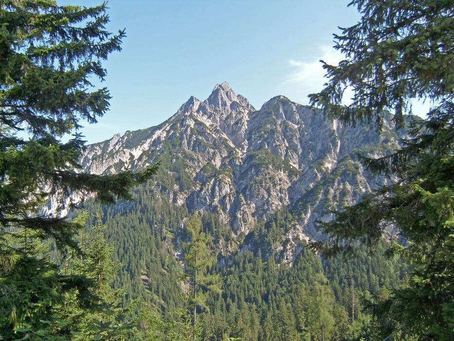
Minimum height 900 m Maximum height 1472 m Vue de détail

More about the tour author

Trunaradler
Member since 2012

Send private message

Commentaires

Tracks GPS

Trackpoints
  • GPX / Garmin Map Source (gpx) download
  • TCX / Garmin Training Center® (tcx) download
  • CRS / Garmin Training Center® (crs) download
  • Google Earth (kml) download
  • G7ToWin (g7t) download
  • TTQV (trk) download
  • Overlay (ovl) download
  • Fugawi (txt) download
  • Kompass (DAV) Track (tk) download
  • Feuille de tours (pdf) download
  • Original file of the author (gpx) download

More about the tour author

Trunaradler
Member since 2012

Send private message
Share track
Add to my favorites
Remove from my favorites
Edit tags
My score
Rate
Tour: Rund um den Gerhardstein und Kallbrunnalm
Cat.: Mountainbike
Longueur: 26,8 km
Evaluated on:
Durée:
Day(s)
Hour(s)
Minute(s)
Evaluation: Paysage Aspect amusement Condition Technique