

zu lange Anfahrt. Oben richtig hochgebirgig, den Klettersteig
musste ich zum Glück nicht nehmen… Fahrtrichtung auf
jeden Fall richtig! Leider ist das Navi retour bei ca. 1000 hm
stehengeblieben!? Wetter von wunderschön bis Dauerregen.
musste ich zum Glück nicht nehmen… Fahrtrichtung auf
jeden Fall richtig! Leider ist das Navi retour bei ca. 1000 hm
stehengeblieben!? Wetter von wunderschön bis Dauerregen.
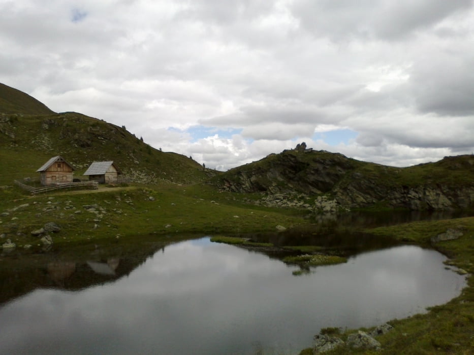
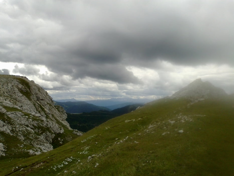
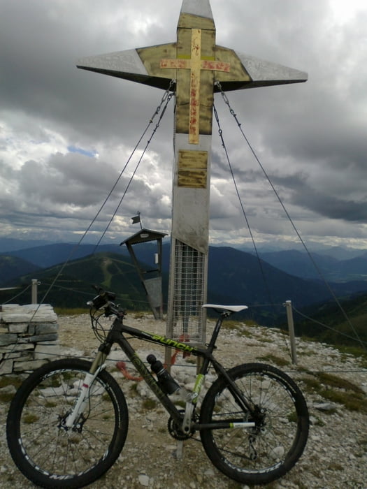
Galerie du tour
Carte du tour et altitude
Minimum height 594 m
Maximum height 2191 m
More about the tour author
|
|
mitter |
Commentaires

Start in Spittal beim Spital.
Tracks GPS
Trackpoints-
GPX / Garmin Map Source (gpx) download
-
TCX / Garmin Training Center® (tcx) download
-
CRS / Garmin Training Center® (crs) download
-
Google Earth (kml) download
-
G7ToWin (g7t) download
-
TTQV (trk) download
-
Overlay (ovl) download
-
Fugawi (txt) download
-
Kompass (DAV) Track (tk) download
-
Feuille de tours (pdf) download
-
Original file of the author (gpx) download
More about the tour author
|
|
mitter |
Add to my favorites
Remove from my favorites
Edit tags
Open track
My score
Rate