


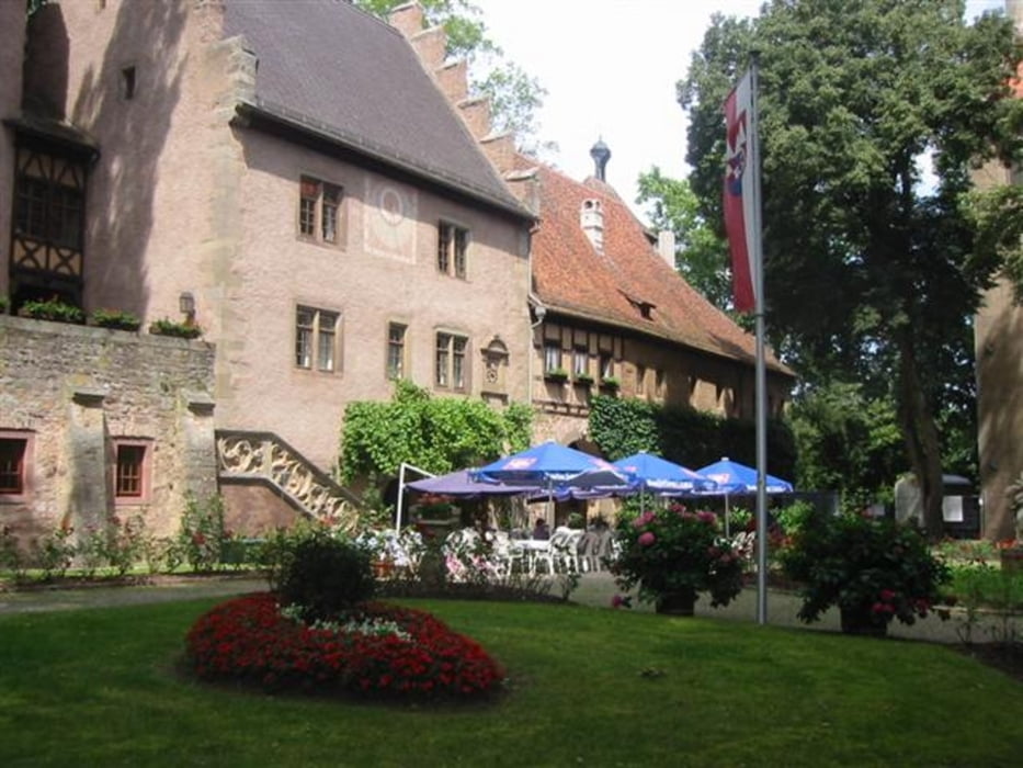
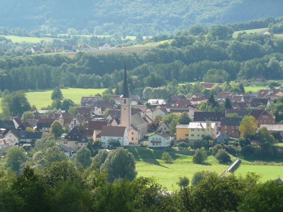
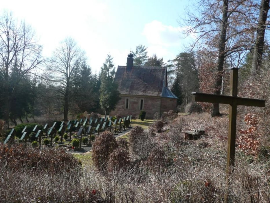
Diese Wanderung führt uns entlang der Fränkischen Saale über den Klauswald zum Schloss Aschach nach Bad Bocklet und weiter nach Steinach an der Saale.
Galerie du tour
Carte du tour et altitude
Minimum height 197 m
Maximum height 319 m
More about the tour author
|
|
maffy |
Commentaires

Parkplatz Salinen Blick
Tracks GPS
Trackpoints-
GPX / Garmin Map Source (gpx) download
-
TCX / Garmin Training Center® (tcx) download
-
CRS / Garmin Training Center® (crs) download
-
Google Earth (kml) download
-
G7ToWin (g7t) download
-
TTQV (trk) download
-
Overlay (ovl) download
-
Fugawi (txt) download
-
Kompass (DAV) Track (tk) download
-
Feuille de tours (pdf) download
-
Original file of the author (gpx) download
More about the tour author
|
|
maffy |
Add to my favorites
Remove from my favorites
Edit tags
Open track
My score
Rate