
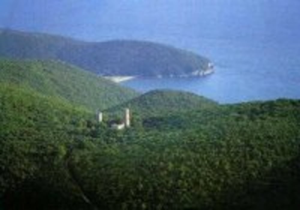

Wanderung A1 im Maremma Nationalpark. Wer Spass hat bei großer Hitze im Steineichenwald rumzuwandern ist hier richtig. Man sieht relativ wenig von der Gegend.
Carte du tour et altitude
Minimum height 60 m
Maximum height 420 m
More about the tour author
|
|
Fruehaufsteher |
Commentaires

Tracks GPS
Trackpoints-
GPX / Garmin Map Source (gpx) download
-
TCX / Garmin Training Center® (tcx) download
-
CRS / Garmin Training Center® (crs) download
-
Google Earth (kml) download
-
G7ToWin (g7t) download
-
TTQV (trk) download
-
Overlay (ovl) download
-
Fugawi (txt) download
-
Kompass (DAV) Track (tk) download
-
Feuille de tours (pdf) download
-
Original file of the author (gpx) download
More about the tour author
|
|
Fruehaufsteher |
Add to my favorites
Remove from my favorites
Edit tags
Open track
My score
Rate