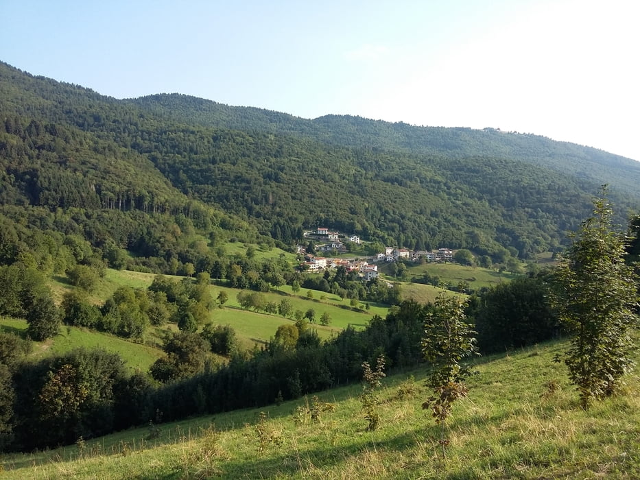
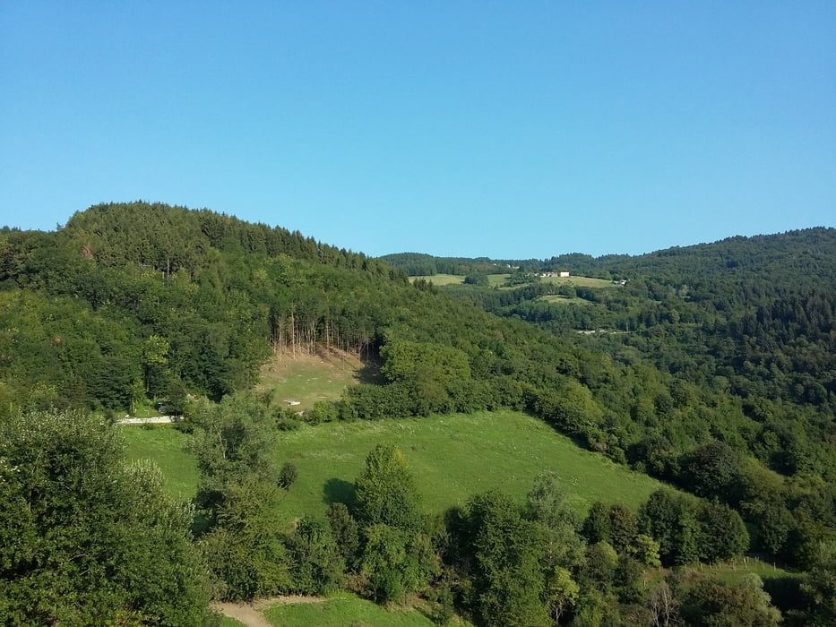
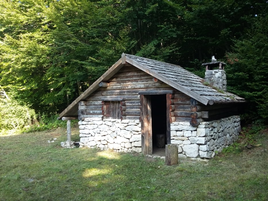
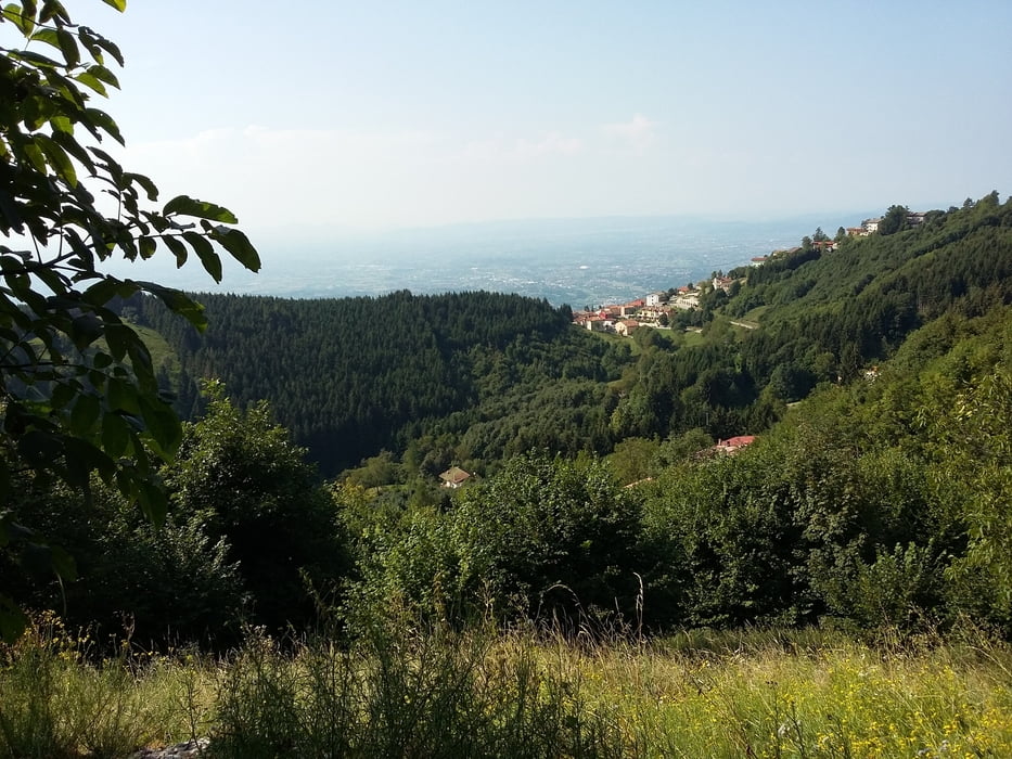
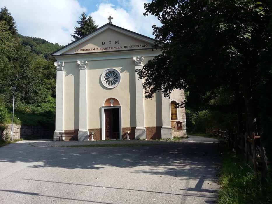
Ottima marcia su zona di montagna a me preferita. Quasi tutti i percorsi sono su sentieri o sterrati,e tanti percorsi svolti nel sottobosco.
Further information at
https://www.asiago.it/it/altopiano_di_asiago/lusiana/Galerie du tour
Carte du tour et altitude
Minimum height 743 m
Maximum height 1075 m
Commentaires

Tracks GPS
Trackpoints-
GPX / Garmin Map Source (gpx) download
-
TCX / Garmin Training Center® (tcx) download
-
CRS / Garmin Training Center® (crs) download
-
Google Earth (kml) download
-
G7ToWin (g7t) download
-
TTQV (trk) download
-
Overlay (ovl) download
-
Fugawi (txt) download
-
Kompass (DAV) Track (tk) download
-
Feuille de tours (pdf) download
-
Original file of the author (gpx) download
Add to my favorites
Remove from my favorites
Edit tags
Open track
My score
Rate

