

Single track su terreno completamente natural impegnativo per il fondo da guidare.
Discesa in single track divertente da Rifugio Solander a Daolasa passando nei boschi, nelle pista da sci e nel centro di Folgarida.
Dall'arrivo della telecabina di Daolasa si imbocca subito un single track che affianca in discesa la strada forestale che porta al Malghet Aut. Si segue poi la forestale in direzione Malga di Dimaro. Prima della Malga un bivio sulla sinistra ci porta in una strada stretta che diventa un divertente sentiero fino ad incrociare una pista da sci. Si segue la strada sterrata nella pista fino alla Casina, 200 metri di asfalto e poi, nei pressi del Hotel Bracconiere a sinistra, si ritorna su un'altra pista da sci. Si percorre il sentiero che si addentra nel bosco fino a giungere nel centro di Folgarida.
Si imbocca la statale per Dimaro per circa 200 metri e si prende il sentiero sulla sinistra. Il sentiero molto divertente ci porta in picchiata fino a Costa Rotian. Breve tratto in asfalto, seguito da una stradina sterrata e di nuovo un tratto in asfalto ci conducono senza difficoltà a Parcheggio di Daolasa.
Further information at
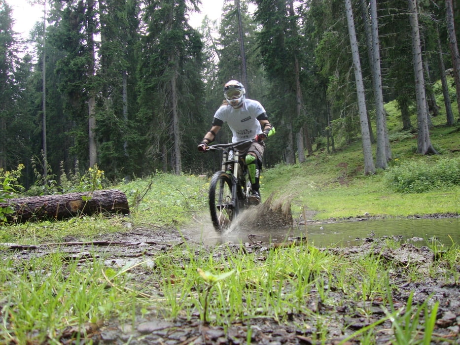
http://www.campigliodolomiti.it/biketracksGalerie du tour

Carte du tour et altitude
Minimum height 810 m
Maximum height 2044 m
More about the tour author

|
Dolomeet |
Commentaires

Tracks GPS
Trackpoints-
GPX / Garmin Map Source (gpx) download
-
TCX / Garmin Training Center® (tcx) download
-
CRS / Garmin Training Center® (crs) download
-
Google Earth (kml) download
-
G7ToWin (g7t) download
-
TTQV (trk) download
-
Overlay (ovl) download
-
Fugawi (txt) download
-
Kompass (DAV) Track (tk) download
-
Feuille de tours (pdf) download
-
Original file of the author (gpx) download
More about the tour author
|
|
Dolomeet |
Add to my favorites
Remove from my favorites
Edit tags
Open track
My score
Rate