Login

Login oublié ?

Cookies have to be accepted!
Your browser's cookie functionality is disabled. Please enable this functionality.

Not a member yet?

Register now
Login

Available for registred users only

Log in to use this feature.

Login oublié ?

Cookies have to be accepted!
Your browser's cookie functionality is disabled. Please enable this functionality.

Not a member yet?

Register now
Filter
Catégories
Advanced filters
  • Longueur (km)
  • Altimètre
Enregistrer le filtre Reset filter

TrackRank

QRCode

Technical data

Longueur3,5 km Altimètre80 m Way down81 m Durée01:00 h:m Date23.08.2008
Evaluations Author Paysage Aspect amusement Condition Technique

Statistiques

713 Vues Evaluations 48 Téléchargements Moyenne
Rate
  • Feuille de tours
  • Arrivée
  • Téléchargements
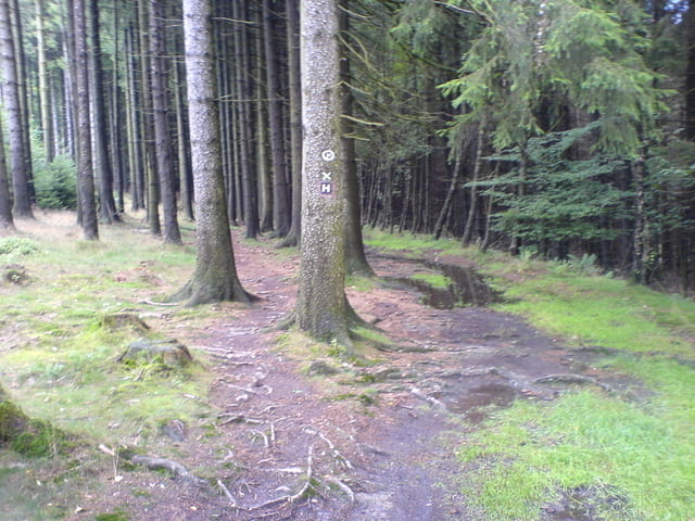
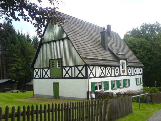
Ausgehend vom Wanderparkplatz geht es vorbei am Wanderheim Wiehard und wieder zurück zum Ausgangspunkt.Rundwanderweg ! Am Wochenende Einkehr  im Wanderheim Wiehardt zu Kaffee und Kuchen möglich. Weitere Wanderungen vom Parkplatz aus möglich.Wanderkarte beachten.

Galerie du tour

Carte du tour et altitude

  • Open Street Map
  • Google
Minimum height 452 m Maximum height 534 m Vue de détail

More about the tour author

svenv0
Member since 2008

Send private message

Commentaires

Tracks GPS

Trackpoints
  • GPX / Garmin Map Source (gpx) download
  • TCX / Garmin Training Center® (tcx) download
  • CRS / Garmin Training Center® (crs) download
  • Google Earth (kml) download
  • G7ToWin (g7t) download
  • TTQV (trk) download
  • Overlay (ovl) download
  • Fugawi (txt) download
  • Kompass (DAV) Track (tk) download
  • Feuille de tours (pdf) download
  • Original file of the author (gpx) download

More about the tour author

svenv0
Member since 2008

Send private message
Share track
Add to my favorites
Remove from my favorites
Edit tags
My score
Rate
Tour: Rund um die Wiehardt
Cat.: Randonnées
Longueur: 3,5 km
Evaluated on:
Durée:
Day(s)
Hour(s)
Minute(s)
Evaluation: Paysage Aspect amusement Condition Technique