Login

Login oublié ?

Cookies have to be accepted!
Your browser's cookie functionality is disabled. Please enable this functionality.

Not a member yet?

Register now
Login

Available for registred users only

Log in to use this feature.

Login oublié ?

Cookies have to be accepted!
Your browser's cookie functionality is disabled. Please enable this functionality.

Not a member yet?

Register now
Filter
Catégories
Advanced filters
  • Longueur (km)
  • Altimètre
Enregistrer le filtre Reset filter

TrackRank

QRCode

Technical data

Longueur100,0 km Altimètre1157 m Way down1150 m Durée07:00 h:m Date08.03.2009
Evaluations Author Paysage Aspect amusement Condition Technique

Statistiques

1269 Vues Evaluations 115 Téléchargements Moyenne
Rate
  • Feuille de tours
  • Arrivée
  • Téléchargements

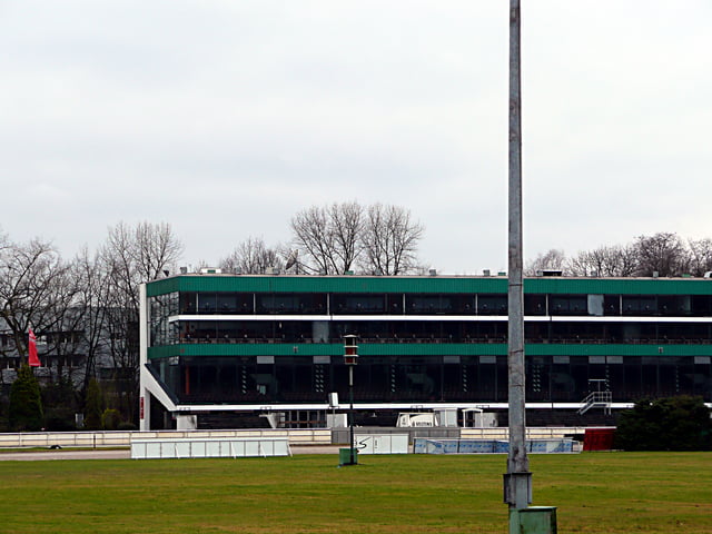
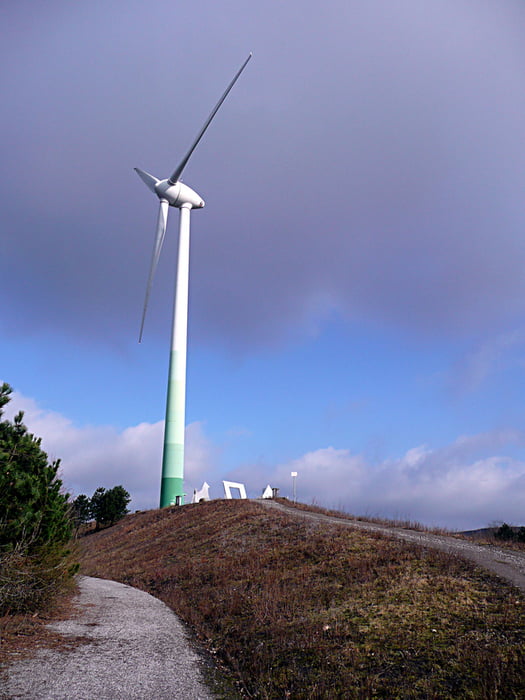
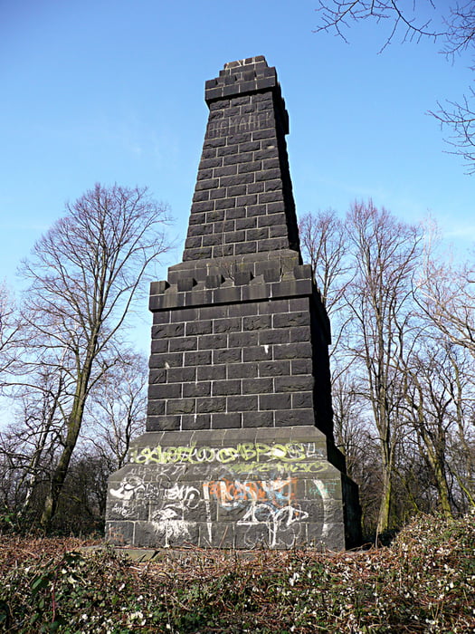
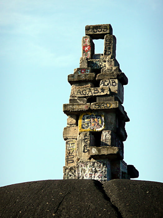
Tour über alle Halden des nördlichen Ruhrgebiets:

Haniel, Tetraeder, Prosper mit Skiparadies, Mottbruchhalde, Halde 19, Schurenbachhalde, Halde Zollverein 4/11, Mechtenberg, Halde Rheinelbe, Hoppenbruch, Hoheward und Rungenberg 

Galerie du tour

Carte du tour et altitude

  • Open Street Map
  • Google
Minimum height 27 m Maximum height 170 m Vue de détail

More about the tour author

tottreter
Member since 2006

Send private message

Commentaires

Tracks GPS

Trackpoints
  • GPX / Garmin Map Source (gpx) download
  • TCX / Garmin Training Center® (tcx) download
  • CRS / Garmin Training Center® (crs) download
  • Google Earth (kml) download
  • G7ToWin (g7t) download
  • TTQV (trk) download
  • Overlay (ovl) download
  • Fugawi (txt) download
  • Kompass (DAV) Track (tk) download
  • Feuille de tours (pdf) download
  • Original file of the author (gpx) download

More about the tour author

tottreter
Member since 2006

Send private message
Share track
Add to my favorites
Remove from my favorites
Edit tags
My score
Rate
Tour: Haldentour
Cat.: Mountainbike
Longueur: 100,0 km
Evaluated on:
Durée:
Day(s)
Hour(s)
Minute(s)
Evaluation: Paysage Aspect amusement Condition Technique