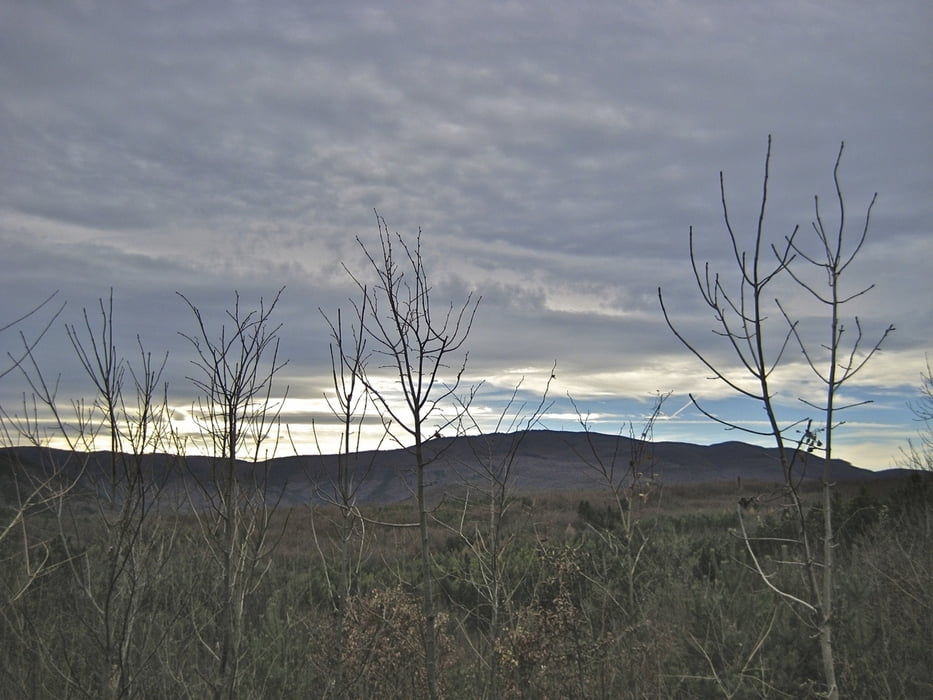
Variante 3
Von Guntramsdorf am Wr. Neustädter Kanal nach Baden, durchs Helenental bis Augustinerhütte, von dort auf den Hohen Lindkogel (Eisernes Tor, 834 m) und retour
Carte du tour et altitude
Minimum height 193 m
Maximum height 841 m
Commentaires

Guntramsdorf - B17 od. A2 auch mit Badener Bahn, S-Bahn erreichbar
Tracks GPS
Trackpoints-
GPX / Garmin Map Source (gpx) download
-
TCX / Garmin Training Center® (tcx) download
-
CRS / Garmin Training Center® (crs) download
-
Google Earth (kml) download
-
G7ToWin (g7t) download
-
TTQV (trk) download
-
Overlay (ovl) download
-
Fugawi (txt) download
-
Kompass (DAV) Track (tk) download
-
Feuille de tours (pdf) download
-
Original file of the author (gpx) download
Add to my favorites
Remove from my favorites
Edit tags
Open track
My score
Rate

