Login

Login oublié ?

Cookies have to be accepted!
Your browser's cookie functionality is disabled. Please enable this functionality.

Not a member yet?

Register now
Login

Available for registred users only

Log in to use this feature.

Login oublié ?

Cookies have to be accepted!
Your browser's cookie functionality is disabled. Please enable this functionality.

Not a member yet?

Register now
Filter
Catégories
Advanced filters
  • Longueur (km)
  • Altimètre
Enregistrer le filtre Reset filter

TrackRank

QRCode

Technical data

Longueur37,6 km Altimètre292 m Way down429 m Durée01:35 h:m Date16.11.2010
Evaluations Author Paysage Aspect amusement Condition Technique

Statistiques

87 Vues Evaluations 5 Téléchargements Moyenne
Rate
  • Feuille de tours
  • Arrivée
  • Téléchargements

16.11.2010

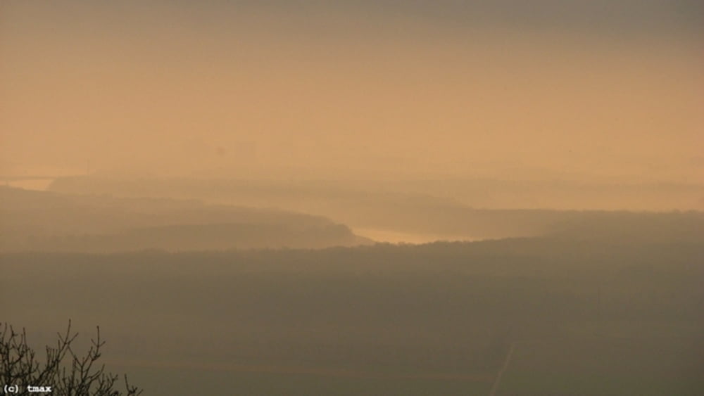
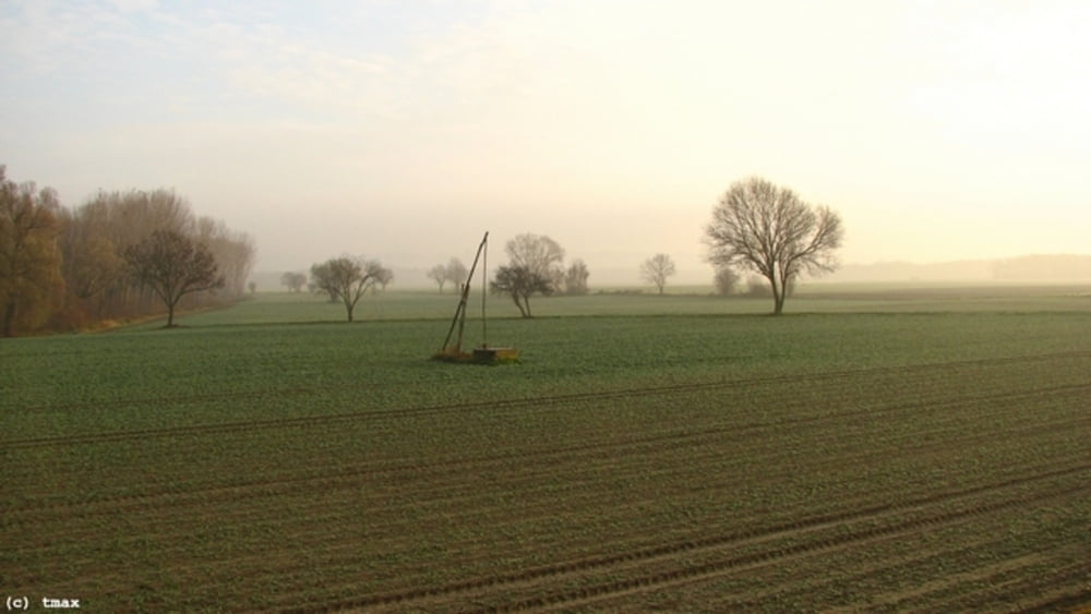
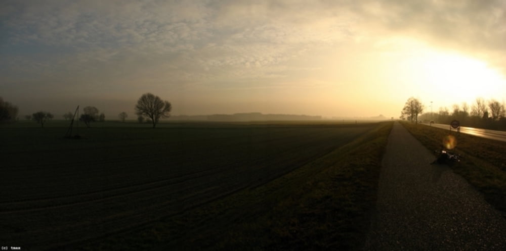
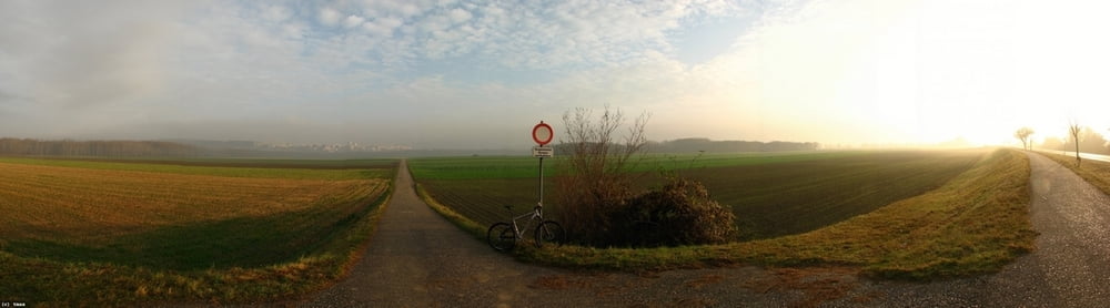
Budíček pred pol 6., za tmy na Braunsberg (hore som bol o 7:00). V pláne bolo fotiť východ slnka nad BA, no nejako sa nedostavoval... Tak som sa vybral späť a pekné svetlo s hmlou som zastihol za Wolfsthalom.

Galerie du tour

Carte du tour et altitude

  • Open Street Map
  • Google
Minimum height 71 m Maximum height 310 m Vue de détail

More about the tour author

tmax
Member since 2007

Send private message

Commentaires

BA-Dlhé Diely

Tracks GPS

Trackpoints
  • GPX / Garmin Map Source (gpx) download
  • TCX / Garmin Training Center® (tcx) download
  • CRS / Garmin Training Center® (crs) download
  • Google Earth (kml) download
  • G7ToWin (g7t) download
  • TTQV (trk) download
  • Overlay (ovl) download
  • Fugawi (txt) download
  • Kompass (DAV) Track (tk) download
  • Feuille de tours (pdf) download
  • Original file of the author (gpx) download

More about the tour author

tmax
Member since 2007

Send private message
Share track
Add to my favorites
Remove from my favorites
Edit tags
My score
Rate
Tour: 20101116_Východ slnka na Braunsbergu
Cat.: Mountainbike
Longueur: 37,6 km
Evaluated on:
Durée:
Day(s)
Hour(s)
Minute(s)
Evaluation: Paysage Aspect amusement Condition Technique