Login

Login oublié ?

Cookies have to be accepted!
Your browser's cookie functionality is disabled. Please enable this functionality.

Not a member yet?

Register now
Login

Available for registred users only

Log in to use this feature.

Login oublié ?

Cookies have to be accepted!
Your browser's cookie functionality is disabled. Please enable this functionality.

Not a member yet?

Register now
Filter
Catégories
Advanced filters
  • Longueur (km)
  • Altimètre
Enregistrer le filtre Reset filter

TrackRank

QRCode

Technical data

Longueur88,4 km Altimètre754 m Way down749 m Durée04:42 h:m Date02.05.2011
Evaluations Author Paysage Aspect amusement Condition Technique

Statistiques

331 Vues Evaluations 12 Téléchargements Moyenne
Rate
  • Feuille de tours
  • Arrivée
  • Téléchargements
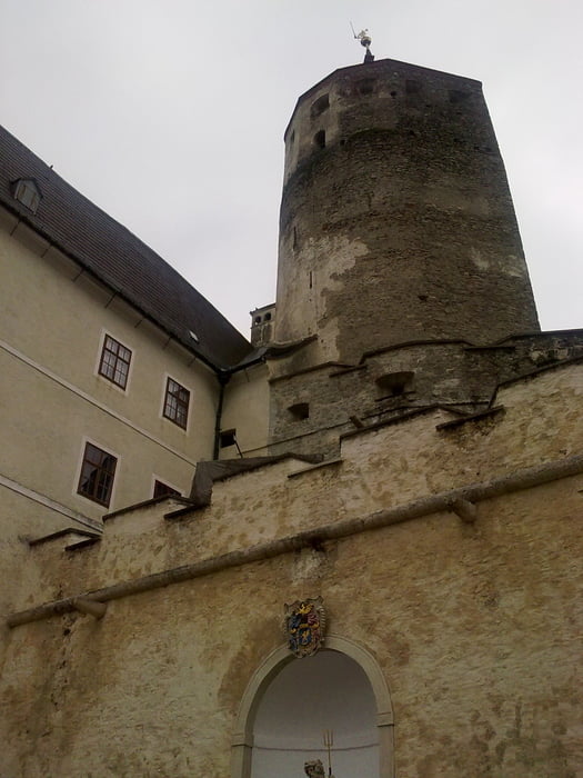
Von Unterwaltersdorf nach Ebreichsdorf, dann auf Feldwegen nach Süden bis Wr. Neustadt, über den Rosaliaradweg nach Neudörfl und Bad Sauerbrunn, die offizielle MTB-Strekce "Sauerbründlstrecke" über das Rosaliagebirge bis knapp unter der Rosaliakapelle, die Straße hinunter bis zur Burg Forchtenstein, nach Mattersburg, Sigless, Pöttsching zum Neufeldersee und über Landegg und Pottendorf wieder zurück nach Unterwaltersdorf. 

Galerie du tour

Carte du tour et altitude

  • Open Street Map
  • Google
Minimum height 194 m Maximum height 657 m Vue de détail

More about the tour author

Radclub-Trumau
Member since 2011

Send private message

Commentaires

Tracks GPS

Trackpoints
  • GPX / Garmin Map Source (gpx) download
  • TCX / Garmin Training Center® (tcx) download
  • CRS / Garmin Training Center® (crs) download
  • Google Earth (kml) download
  • G7ToWin (g7t) download
  • TTQV (trk) download
  • Overlay (ovl) download
  • Fugawi (txt) download
  • Kompass (DAV) Track (tk) download
  • Feuille de tours (pdf) download
  • Original file of the author (tcx) download

More about the tour author

Radclub-Trumau
Member since 2011

Send private message
Share track
Add to my favorites
Remove from my favorites
Edit tags
My score
Rate
Tour: Rosaliagebirge
Cat.: Mountainbike
Longueur: 88,4 km
Evaluated on:
Durée:
Day(s)
Hour(s)
Minute(s)
Evaluation: Paysage Aspect amusement Condition Technique