


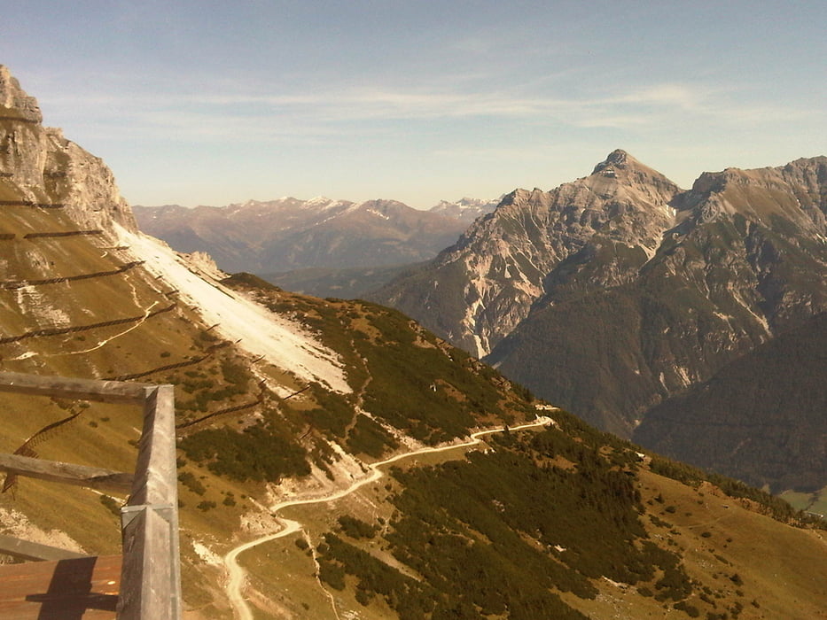
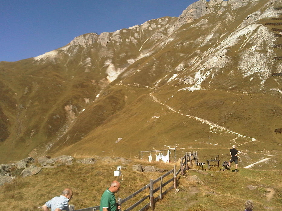
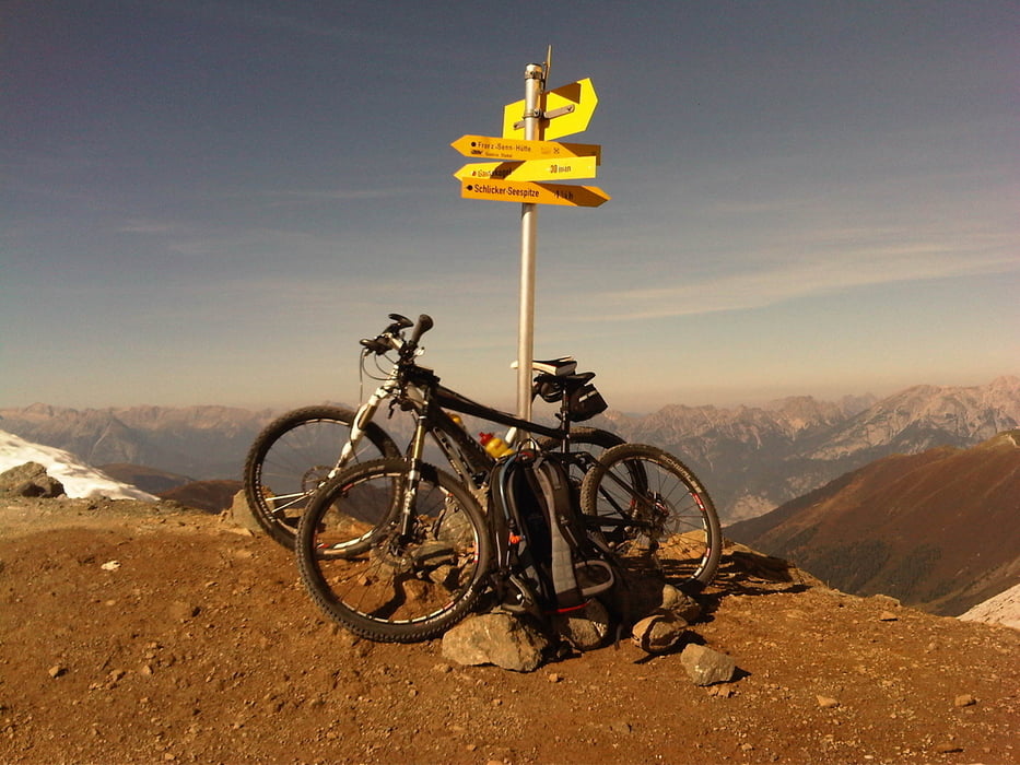
Von Innsbruck aus (Bahnhof) über Wilten, Kreith über die Telfer Wiesen nach Plöven (1020). Hier rechts halten und den Schlicker-Bach entlang zum Gasthof Fronebner (1306) - ca. 10 Minuten Schiebestrecke, weil recht steil. Den Fahrweg weiter bis zur Galtalm (1634) und weiter zur Starkenburger Hütte (2237). Jetzt folgt eine (großteils) Schiebestrecke auf das Seejöchl (2518) - traumhafte Aussicht - und wieder - zumindest im oberen Teil eine Schiebestrecke - Richtung Adolf Pichler - Hütte (sehr guter Kaiserschmarrn. Geschlossen ab 02.10.2011). Weiter geht's zur Kemater Alm und von dort über Axams, Völs nach Innsbruck.
Galerie du tour

Carte du tour et altitude
Minimum height 440 m
Maximum height 2362 m
More about the tour author

|
tonfreund |
Commentaires

Tracks GPS
Trackpoints-
GPX / Garmin Map Source (gpx) download
-
TCX / Garmin Training Center® (tcx) download
-
CRS / Garmin Training Center® (crs) download
-
Google Earth (kml) download
-
G7ToWin (g7t) download
-
TTQV (trk) download
-
Overlay (ovl) download
-
Fugawi (txt) download
-
Kompass (DAV) Track (tk) download
-
Feuille de tours (pdf) download
-
Original file of the author (gpx) download
More about the tour author
|
|
tonfreund |
Add to my favorites
Remove from my favorites
Edit tags
Open track
My score
Rate