Login

Elfelejtetted a jelszód?

Cookies have to be accepted!
Your browser's cookie functionality is disabled. Please enable this functionality.

Not a member yet?

Register now
Login

Available for registred users only

Log in to use this feature.

Elfelejtetted a jelszód?

Cookies have to be accepted!
Your browser's cookie functionality is disabled. Please enable this functionality.

Not a member yet?

Register now
Filter
Kategóriák
Advanced filters
  • Hosszúság (km)
  • Szintkülönbség
Szűrő elmentése Reset filter

TrackRank

QRCode

Technical data

Hosszúság19,9 km Szintkülönbség1562 m Way down1189 m Tartam1 day 0 h Dátum20.09.2010
Értékelések Author Vidék Szórakozás Kondíció Technika

Statisztika

679 Views Értékelések 76 Letöltések átlag
Rate
  • Túralap
  • Megközelítés
  • Letöltések

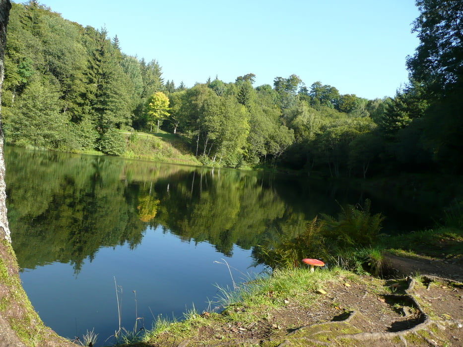
Diese Tour führt über die Thüringer Hütte, Basalsee (Steinernes Haus) zum Schwabenhimmel, Heidelstein, Schornhecke und wieder zur Thüringer Hütte.

Túra fotóalbuma

Túratérkép és magasságprofil

  • Open Street Map
  • Google
Minimum height 171 m Maximum height 1060 m Részletes nézet

More about the tour author

maffy
Member since 2006

Send private message

Megjegyzések

Über Bischofsheim, Weißbach, Sondernau, Urspirngen zur  Thüringer Hütte.

GPS trackek

Trackpoints
  • GPX / Garmin Map Source (gpx) download
  • TCX / Garmin Training Center® (tcx) download
  • CRS / Garmin Training Center® (crs) download
  • Google Earth (kml) download
  • G7ToWin (g7t) download
  • TTQV (trk) download
  • Overlay (ovl) download
  • Fugawi (txt) download
  • Kompass (DAV) Track (tk) download
  • Túralap (pdf) download
  • Original file of the author (gpx) download

More about the tour author

maffy
Member since 2006

Send private message
Share track
Add to my favorites
Remove from my favorites
Edit tags
My score
Rate
Túra: Hochrhöntour
jelleg: Gyalogtúrázás
Hosszúság: 19,9 km
Evaluated on:
Tartam:
Day(s)
Hour(s)
Minute(s)
Értékelés: Vidék Szórakozás Kondíció Technika