


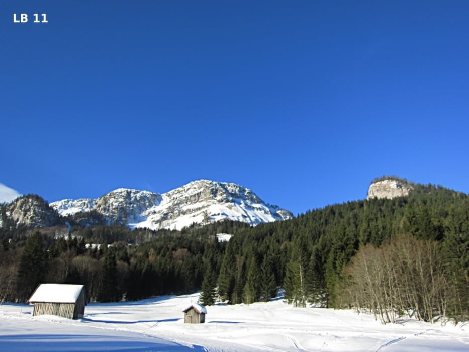
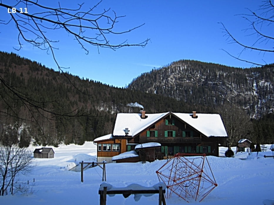
Die mittelschwere Langlaufloipe Blaa Alm - Rettenbachalm ist 6,5 km lang und hat gesamt 129 Höhenmeter. Von Altaussee kommend fährt man an den ersten Parkplätzen bei der Skiarena Loser vorbei. Ein paar Meter vor der Kreuzung Blaa Alm - Loser Bergstraße geht der kurze Sandlingliftweg links hinauf zum dahinterliegenden Parkplatz bei der Skischule. Gleich neben der Skischule befindet sich auch der Start zur hervorragend beschilderten Langlauf- und Skating Loipe Blaa Alm - Rettenbachalm.
Weitere Infos und Fotos findest du unter biketours4you.at
The moderate cross-country skiing trail Blaa Alm - Rettenbachalm is 6.5 km long and has a total of 129 altimeters. Coming from Altaussee you pass the first parking at the ski arena Loser. A few meters before the intersection Blaa Alm - Loser road is short before the road Sandlingliftweg left up to the parking lot by the ski school. Next to the ski school is then also the start for cross country skiing and skating trail Blaa Alm - Rettenbachalm.
More Infos and Photos you'll find - biketours4you.at
Túra fotóalbuma
Túratérkép és magasságprofil
Minimum height 732 m
Maximum height 907 m
More about the tour author
|
|
Trek1400d |
Megjegyzések

GPS trackek
Trackpoints-
GPX / Garmin Map Source (gpx) download
-
TCX / Garmin Training Center® (tcx) download
-
CRS / Garmin Training Center® (crs) download
-
Google Earth (kml) download
-
G7ToWin (g7t) download
-
TTQV (trk) download
-
Overlay (ovl) download
-
Fugawi (txt) download
-
Kompass (DAV) Track (tk) download
-
Túralap (pdf) download
-
Original file of the author (gpx) download
More about the tour author
|
|
Trek1400d |
Add to my favorites
Remove from my favorites
Edit tags
Open track
My score
Rate