

Baiersbronn-Obertal Richtung Forbach ( Tour de Murg ). Am Bahnhof Forbach links über die Brücke und rechts Richtung Bermersbach die Strasse entlang, nach 2 km links ab ( Ziegenweg ). Jetzt geht es steil Hoch zur Schwarzbachtalsperre. Von da aus zum Mehliskopf-Sand, an der Kreuzung Sand links über die Strasse Richtung Hundseck. Von dort gehts über die Strasse rechts hoch Richtung Untersmatt. In Untersmatt hinter dem Hotel rechts weg (Nicht Ochsenstall ) und nach ein paar KM hoch zum Mummelsee. Am Mummelsee vorbei und an der kleinen Kapelle links runter zum Seibelseckle. Am Lifthäusle Rechts hoch zur Darmstädterhütte und rechts an der Hütte vorbei Richtung Wildsee-Blick. Kurz nach dem Wildsee-Blick geht es Links Richtung Obertal.
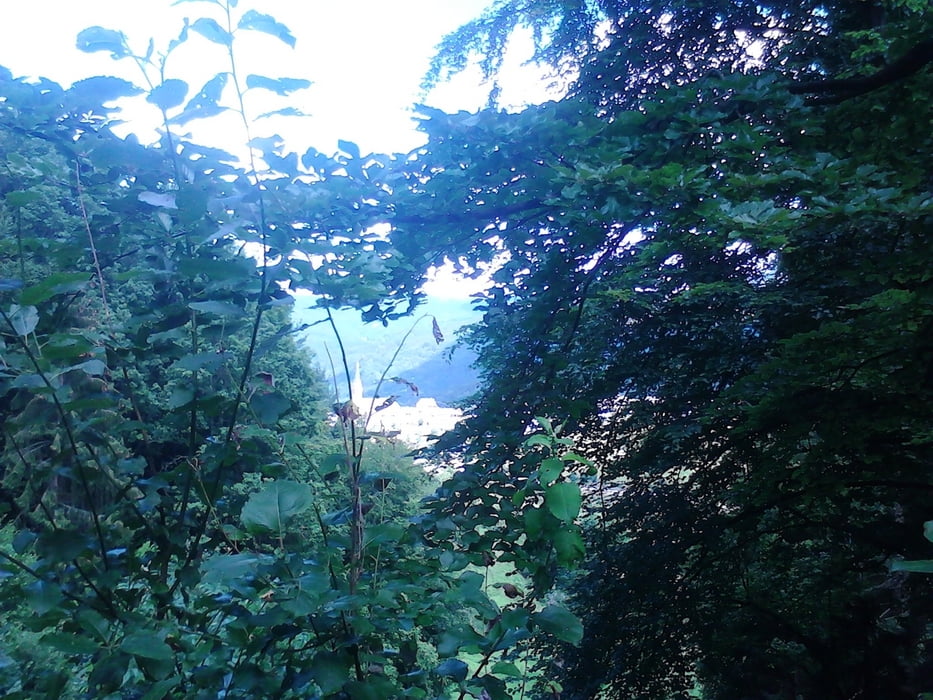
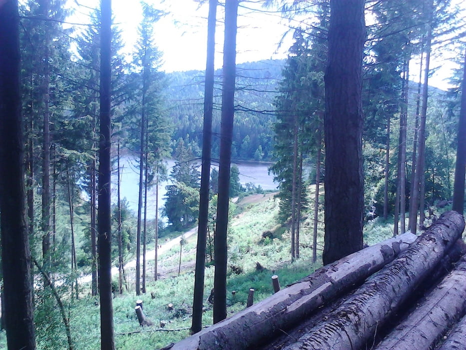
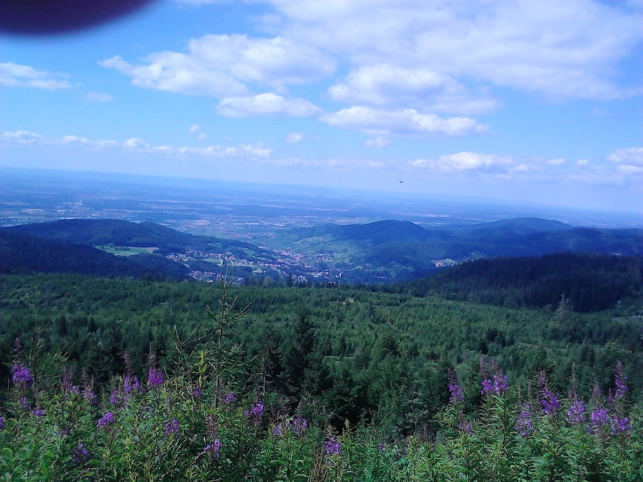
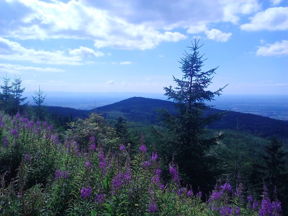
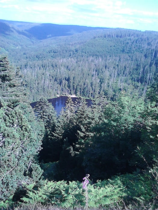
Galeria trasy
Mapa trasy i profil wysokości
Minimum height 303 m
Maximum height 1047 m
More about the tour author

|
vitaminc |
Komentarze

Start und Ende an der Kat. Kirche in Baiersbronn-Obertal, da gibt es auch einen Parkplatz .
GPS tracks
Trackpoints-
GPX / Garmin Map Source (gpx) download
-
TCX / Garmin Training Center® (tcx) download
-
CRS / Garmin Training Center® (crs) download
-
Google Earth (kml) download
-
G7ToWin (g7t) download
-
TTQV (trk) download
-
Overlay (ovl) download
-
Fugawi (txt) download
-
Kompass (DAV) Track (tk) download
-
Karta trasy (pdf) download
-
Original file of the author (gpx) download
More about the tour author
|
|
vitaminc |
Add to my favorites
Remove from my favorites
Edit tags
Open track
My score
Rate