Login

Zapomniałeś swój login?

Cookies have to be accepted!
Your browser's cookie functionality is disabled. Please enable this functionality.

Not a member yet?

Register now
Login

Available for registred users only

Log in to use this feature.

Zapomniałeś swój login?

Cookies have to be accepted!
Your browser's cookie functionality is disabled. Please enable this functionality.

Not a member yet?

Register now
Filter
Kategorie
Advanced filters
  • Długość (km)
  • Wysokość
Zapisz filtr Reset filter

TrackRank

QRCode

Technical data

Długość37,2 km Wysokość133 m Way down140 m Czas trwania02:20 h:m Data28.08.2017
Oceny Author Krajobraz Czynnik zadowolenia Kondycja Technika

Statystyka

146 Widoki Oceny 16 Downloads / Pliki do pobrania Przeciętnie
Rate
  • Karta trasy
  • Dojazd
  • Downloads / Pliki do pobrania
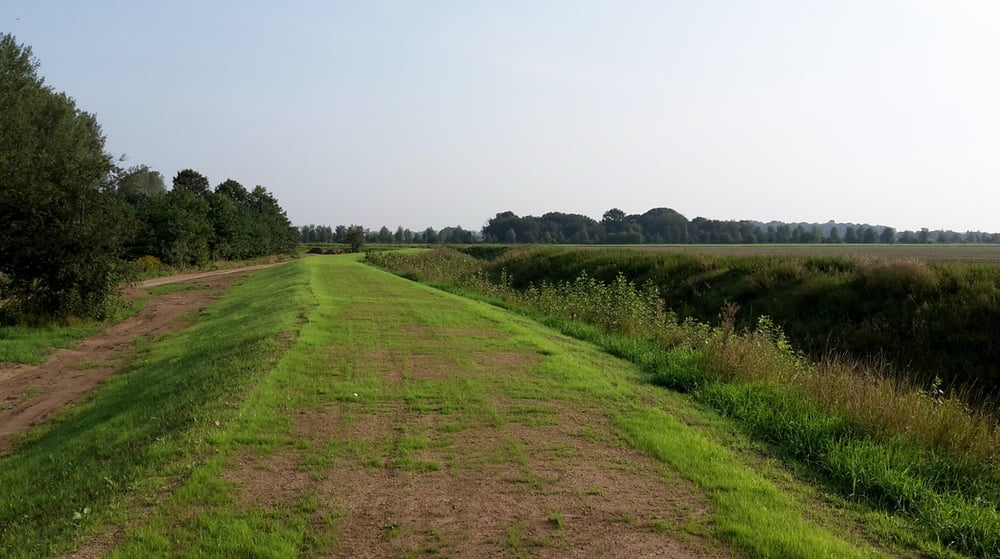
Start in Bernburg und Saale flußaufwärts. Dann parallel zur Wipper bis Cölbik und weiter nach Güsten. An der Liethe Richtung Stassfurt. Weg teilweise rauh (kein Problem für Mountainbike). Weiter an der Bode nach Hohenerxleben (heftig weil kein richtiger Weg). Von dort zurück nach Bernburg auf festen Wegen.

Galeria trasy

Mapa trasy i profil wysokości

  • Open Street Map
  • Google
Minimum height 57 m Maximum height 98 m Widok szczegółowy

More about the tour author

ThomasMueller128
Member since 2008

Send private message

Komentarze

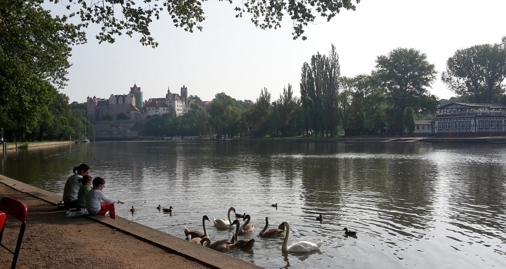
Von Bahnhof Bernburg Richtung Innenstadt. Route kreuzt.

GPS tracks

Trackpoints
  • GPX / Garmin Map Source (gpx) download
  • TCX / Garmin Training Center® (tcx) download
  • CRS / Garmin Training Center® (crs) download
  • Google Earth (kml) download
  • G7ToWin (g7t) download
  • TTQV (trk) download
  • Overlay (ovl) download
  • Fugawi (txt) download
  • Kompass (DAV) Track (tk) download
  • Karta trasy (pdf) download
  • Original file of the author (gpx) download

More about the tour author

ThomasMueller128
Member since 2008

Send private message
Share track
Add to my favorites
Remove from my favorites
Edit tags
My score
Rate
Trasa: Saale-Wipper-Liethe-Bode Runde
Rodzaj: Rower górski (MTB)
Długość: 37,2 km
Evaluated on:
Czas trwania:
Day(s)
Hour(s)
Minute(s)
Ocena: Krajobraz Czynnik zadowolenia Kondycja Technika