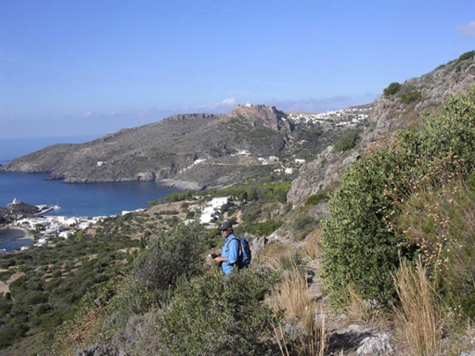
Der Wanderweg (M11) führt über die Klippen von Kapsali nach Spilies zu der Höhlenkirche. Von dort aus, über die kleine Schlucht, nach Xeroniamata. Der Wanderweg führt über Wiesen zu einem Landwirtschaftsweg der nach Kapsali (M15) zurück führt.
Siehe die bebilderte Google Map!
Further information at
https://www.wandern-kythira.de/porto-delfino-trail-wanderweg/Galeria trasy
Mapa trasy i profil wysokości
Minimum height 4 m
Maximum height 286 m
Komentarze

Kapsali ist mit einem fahrzeug leicht erreichbar.
GPS tracks
Trackpoints-
GPX / Garmin Map Source (gpx) download
-
TCX / Garmin Training Center® (tcx) download
-
CRS / Garmin Training Center® (crs) download
-
Google Earth (kml) download
-
G7ToWin (g7t) download
-
TTQV (trk) download
-
Overlay (ovl) download
-
Fugawi (txt) download
-
Kompass (DAV) Track (tk) download
-
Karta trasy (pdf) download
-
Original file of the author (gpx) download
Add to my favorites
Remove from my favorites
Edit tags
Open track
My score
Rate


