Für diese Route würde auch ein Trekkingrad reichen, allerdings ist im Bereich Forsthof und Sinzenburg ein Mountainbike von Vorteil.
An der Strecke liegen die Flüsse:
- Neckar
- Murr
- Bottwar
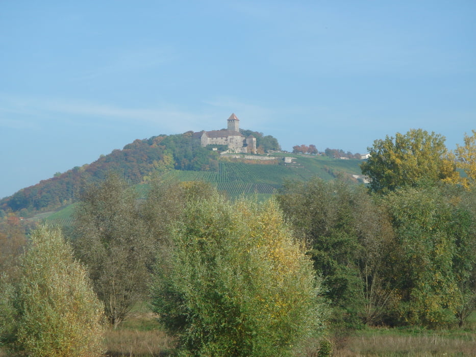
Das iydillisch gelegene Bottwartal überrascht durch eine Vielzahl von Sehenswürdigkeiten. Weithin sichtbar sind die vielen Burgen.
Further information at
http://www.sinzenburg.de/Galeria trasy
Mapa trasy i profil wysokości
Minimum height 180 m
Maximum height 398 m
Komentarze

steg
on 06.01.2009
Der Einstieg über das Murrtal und der stetige Anstieg bis nach Sinzenburg gefallen mir ausgesprochen gut. Der weitere Schlenker bis nach Oberstenfeld wirkt etwas erzwungen und einfallslos, passt aber schon *g* Der Bottwartal-Radweg ist im Sommer etwas verblockt (durch Hunde, Rentner, ...), im Winter jedoch kein Thema. Auf der Geraden zwischen Murr und Pleidersheim lässt sich zum Abschluss noch eine kleine Zeitfahreinheit einbauen. Schöne Tour, danke fürs hochladen!

Bei dieser Route handelt es sich um eine Rundtour. Gestartet wird in Freiberg-Geisingen bei der Evangelischen Kirche.
GPS tracks
Trackpoints-
GPX / Garmin Map Source (gpx) download
-
TCX / Garmin Training Center® (tcx) download
-
CRS / Garmin Training Center® (crs) download
-
Google Earth (kml) download
-
G7ToWin (g7t) download
-
TTQV (trk) download
-
Overlay (ovl) download
-
Fugawi (txt) download
-
Kompass (DAV) Track (tk) download
-
Karta trasy (pdf) download
-
Original file of the author (gpx) download
Add to my favorites
Remove from my favorites
Edit tags
Open track
My score
Rate


