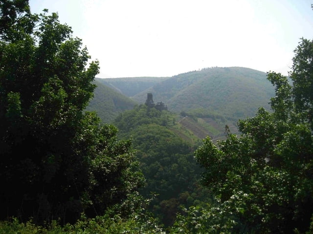
Diese Wanderung beginnt in Bordenbach und verläuft zu Beginn am Ufer der Mosel entlang bis nach Oberfell. Am Ortseingang in den Alkener Weg rechts einbiegen und bis zur Hauptstraße folgen, an der wir uns rechts halten. Nach ca. 300 m, geht es rechts in einen schmalen Pfad hinein. Wir folgen der Beschilderung des Panoramaweges auf das Plateau des Bleidenberges, der uns schöne Ausblicke auf die Mosel, Burg Thurant und bis in die Eifel hinein bietet. An der Wallfahrtskirche Bleidenberg führt die steile Wallfahrtsstiege Siebenfußfälle bis fast nach Alken hinab. Sobald der schmale Pfad auf eine Piste mündet, folgt der Weg links den Pfad an eine ehemaligen Mühle vorbei, bis vom Fahrweg unterhalb der Burg Thurant ein schmaler Pfad rechts hinauf zur Burg führt.
An der Burg folgen wir der Straße bis zur Einmündung an die Hauptstraße der wir 600 m folgen, bevor der nun schmale Pfad in den Wald hinein führt. Am Hang des Schafberges führt der Weg zur Teufelslay und bietet immer wieder schöne Tiefblicke auf die Mosel. An der SChutzhütte bietet sich eine Rast an. Abschließend führt der Weg hinab durch das Teufelslaytal hinab nach Brodenbach zurück.
Further information at
http://www.thurant.de/Galeria trasy
Mapa trasy i profil wysokości
Komentarze

GPS tracks
Trackpoints-
GPX / Garmin Map Source (gpx) download
-
TCX / Garmin Training Center® (tcx) download
-
CRS / Garmin Training Center® (crs) download
-
Google Earth (kml) download
-
G7ToWin (g7t) download
-
TTQV (trk) download
-
Overlay (ovl) download
-
Fugawi (txt) download
-
Kompass (DAV) Track (tk) download
-
Karta trasy (pdf) download
-
Original file of the author (gpx) download


