Login

Забыл пароль?

Cookies have to be accepted!
Your browser's cookie functionality is disabled. Please enable this functionality.

Not a member yet?

Register now
Login

Available for registred users only

Log in to use this feature.

Забыл пароль?

Cookies have to be accepted!
Your browser's cookie functionality is disabled. Please enable this functionality.

Not a member yet?

Register now
Filter
Категории
Advanced filters
  • Длина (км)
  • Высотомер
Сохранить фильтр Reset filter

TrackRank

QRCode

Technical data

Длина27,3 km Высотомер995 m Way down988 m Длительность05:57 h:m Дата09.09.2014
Оценки Author Ландшафт Веселье Кондиция Техника

Статистика

267 Виды Оценки 59 Загрузки Среднее
Rate
  • Формуляр маршрута
  • Дорога
  • Загрузки
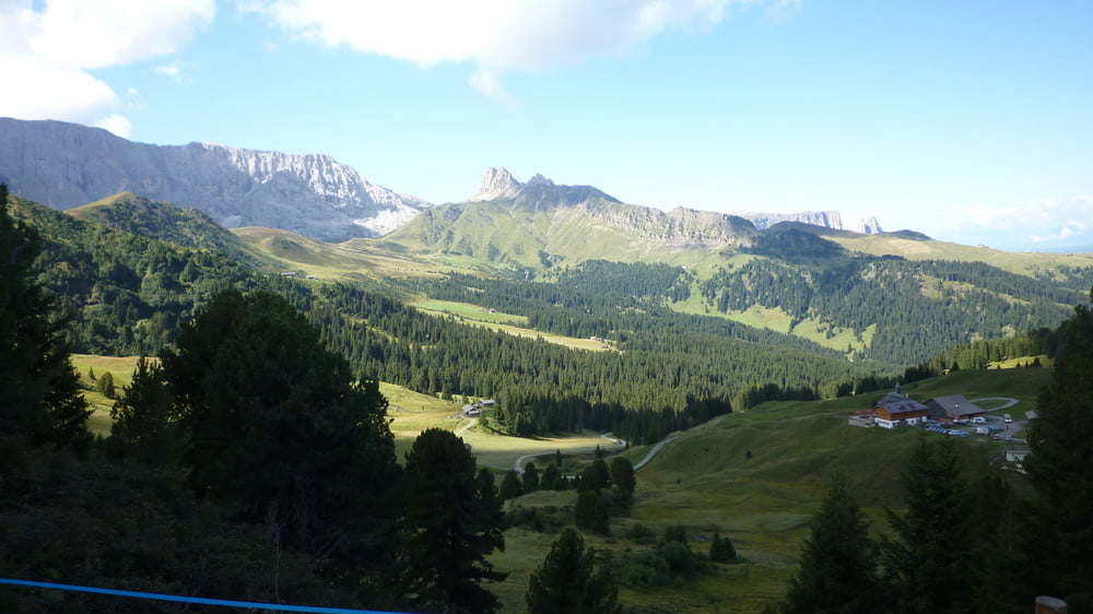
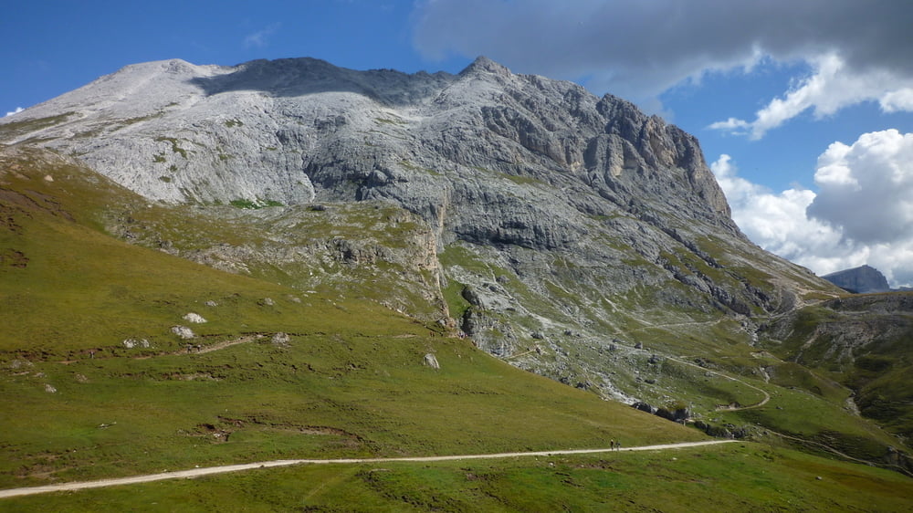
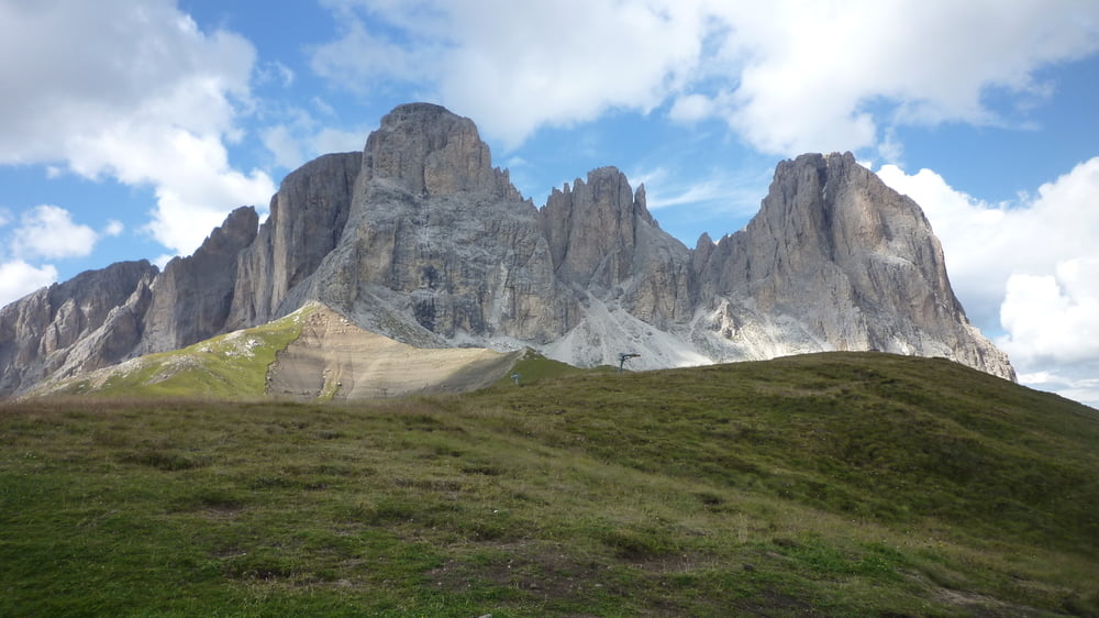
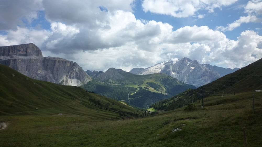
Von Saltria über Fahrweg hinauf zur Zallinger Hütte und von dort weiter zur Plattkofel Hütte. Dort biegt man auf den Friedrich-August-Weg in Richtung Sella Joch ab und folgt diesem bis zum selbigen. Dann geht es durch die Steinerne Stadt um den Langkofel bis unterhalb der Langkofelhütte. Und von dort absteigend zurück nach Saltria.

Галерея маршрутов

Карта маршрута и высотный профиль

  • Open Street Map
  • Google
Minimum height 1686 m Maximum height 2373 m Детальный вид

More about the tour author

Anonymous user

Комментарии

GPS-Tracks

Trackpoints
  • GPX / Garmin Map Source (gpx) download
  • TCX / Garmin Training Center® (tcx) download
  • CRS / Garmin Training Center® (crs) download
  • Google Earth (kml) download
  • G7ToWin (g7t) download
  • TTQV (trk) download
  • Overlay (ovl) download
  • Fugawi (txt) download
  • Kompass (DAV) Track (tk) download
  • Формуляр маршрута (pdf) download
  • Original file of the author (tcx) download

More about the tour author

Anonymous user

Share track
Add to my favorites
Remove from my favorites
Edit tags
My score
Rate
Маршрут: Von Saltria um Platt- und Langkofel
Вид: Горный маршрут
Длина: 27,3 km
Evaluated on:
Длительность:
Day(s)
Hour(s)
Minute(s)
Оценка: Ландшафт Веселье Кондиция Техника