


Feierabendrunde mit Start direkt vom Hotel Wetzlarer Hof.
Zuerst in die Stadt um noch bei einer kleinen Bäckerei einen kleinen Snack zu nehmen. Anschließend querte ich die große Straße. Ich passierte die ARAL Tankstelle und bog dahinter gleich rechts in die Lauerstraße ab. Am Ende nach links in die Helgebachstraße. Danach stieg ich in dem Park langsam an. Immer ansteigend erreichte ich den Parkplatz an dem die Schutzhütte steht bei der ein Lauftreff startet.
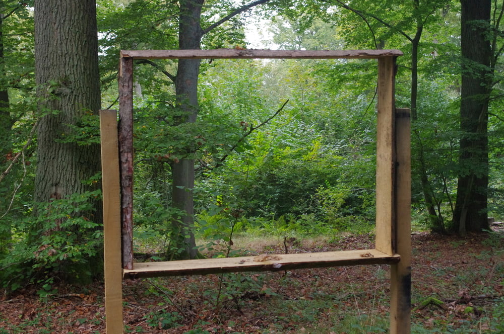
Bald danach stieg ich über Forstwege auf den Gipfel des Stoppelberges. Dorst steht ein Aussichtsturm der eine tolle Fernsicht bietet.
Auf einem Pfad stieg ich an dem Wasserspeicher vorbei ab und erreichte auf einem Forstweg das Kirschenwäldchen. Von hier folgte ich über eine schmale Straße und einen Forstweg in das Tal um mich bei Penny noch ein wenig zu versorgen. Im tal auf einem netten Weg in Richtung Wetzlar.
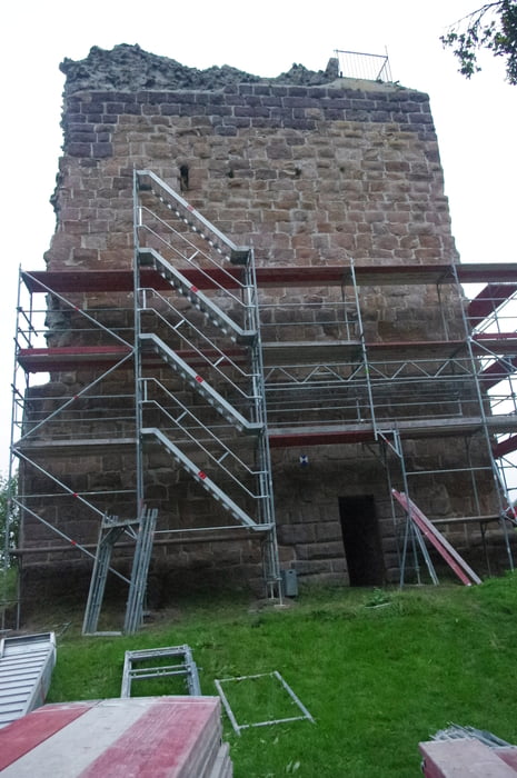
Es folgte noch der Abstecher hoch zur Ruine Kalsmunt.
Mein nächstes Ziel war der Paulaner-Biergarten in dem ich gut gegessen habe.
Durch die Altstadt am Dom vorbei erreichte ich wieder den Ausgangspunkt.
Diese Runde hat Spass gemacht.
Further information at
https://de.wikipedia.org/wiki/Geschichte_der_Stadt_WetzlarГалерея маршрутов
Карта маршрута и высотный профиль
Minimum height 149 m
Maximum height 412 m
More about the tour author
|
|
Pheinz |
Комментарии

Start direkt vom Hotel Wetzlarer Hof.
GPS-Tracks
Trackpoints-
GPX / Garmin Map Source (gpx) download
-
TCX / Garmin Training Center® (tcx) download
-
CRS / Garmin Training Center® (crs) download
-
Google Earth (kml) download
-
G7ToWin (g7t) download
-
TTQV (trk) download
-
Overlay (ovl) download
-
Fugawi (txt) download
-
Kompass (DAV) Track (tk) download
-
Формуляр маршрута (pdf) download
-
Original file of the author (gpx) download
More about the tour author
|
|
Pheinz |
Add to my favorites
Remove from my favorites
Edit tags
Open track
My score
Rate