
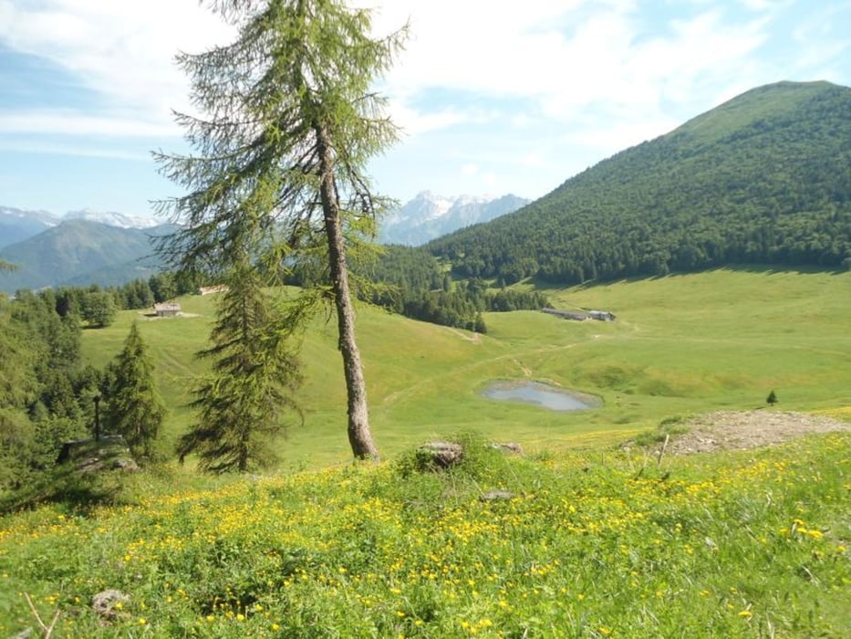

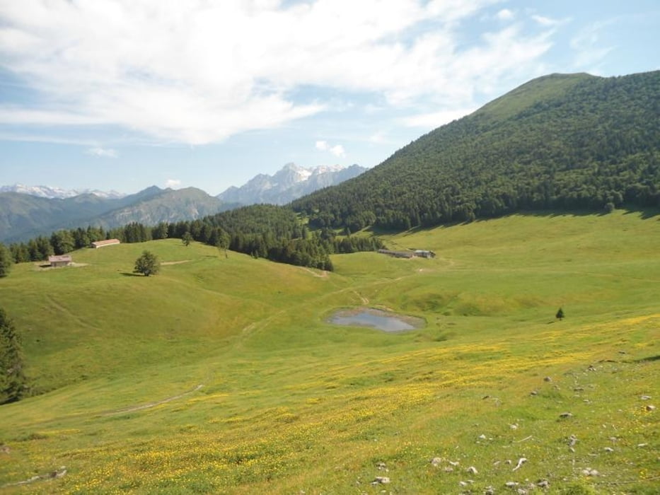
Si parte dal Passo Durone dove si lascia la macchina e si segue il segnavia SAT 463 per Malga Stabio. La strada di montagna sale fra i boschi, a tratti ripida e sassosa, fino a raggiungere l’ampia conca pascolata di Malga Stabio. La visita è incantevole con le cime del Carè Alto, della Presanella ed in alto, verso est, la Cima Sèra. Chi volesse proseguire e salire a Cima Sèra (1.908m) deve attraversare la prateria in direzione sud- est fino a raggiungere il bosco ed il valico della Piazzola (1.572 m – 20 minuti), dal quale si apre un meraviglioso panorama sulla Val Marcia, con le cime del Dòss della Torta, del Gavardina e del Cogorna. Ora il percorso devia a sinistra (direzione nord), entra nel bosco di faggi e poi esce su terreno aperto seguendo il crinale sud di Cima Sèra. Per percorrere il tratto da Malga Stabio a Cima Sèra (circa 2,2 km) occorre circa un’ora e venti minuti di dura salita, ma alla fine ci si trova ampiamente ripagati dello sforzo fatto. Il panorama è unico perché si possono dominare praticamente tutte le cime del Trentino.
Further information at
http://www.visitacomano.it/camminare-e-trekking-alle-terme-di-comano/escursioni-in-montagna-e-passeggiateГалерея маршрутов


Карта маршрута и высотный профиль
Minimum height 99999 m
Maximum height -99999 m
More about the tour author
|
|
apt_terme_comano |
Комментарии

GPS-Tracks
Trackpoints-
GPX / Garmin Map Source (gpx) download
-
TCX / Garmin Training Center® (tcx) download
-
CRS / Garmin Training Center® (crs) download
-
Google Earth (kml) download
-
G7ToWin (g7t) download
-
TTQV (trk) download
-
Overlay (ovl) download
-
Fugawi (txt) download
-
Kompass (DAV) Track (tk) download
-
Формуляр маршрута (pdf) download
-
Original file of the author (gpx) download
More about the tour author
|
|
apt_terme_comano |
Add to my favorites
Remove from my favorites
Edit tags
Open track
My score
Rate