
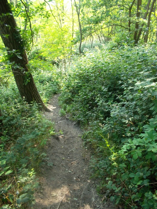

Nette Trainingsrunde mit einigen Trails,
die Runde hat sich in der letzten Zeit als meine Trainigsrunde herauskristallisiert. Biete ein Maximum an Abwechslund was die Ville so hergibt. Viel Spaß beim Nachfahren!
Галерея маршрутов

Карта маршрута и высотный профиль
Minimum height 67 m
Maximum height 202 m
More about the tour author

|
Ecrix |
Комментарии

Wenn man nicht, wie ich, von Sindorf her kommt, würde ich direkt von Quadrath Ichendorf aus starten.
GPS-Tracks
Trackpoints-
GPX / Garmin Map Source (gpx) download
-
TCX / Garmin Training Center® (tcx) download
-
CRS / Garmin Training Center® (crs) download
-
Google Earth (kml) download
-
G7ToWin (g7t) download
-
TTQV (trk) download
-
Overlay (ovl) download
-
Fugawi (txt) download
-
Kompass (DAV) Track (tk) download
-
Формуляр маршрута (pdf) download
-
Original file of the author (gpx) download
More about the tour author
|
|
Ecrix |
Add to my favorites
Remove from my favorites
Edit tags
Open track
My score
Rate