


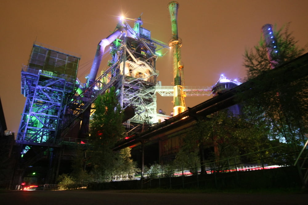
Die Runde führt durch den Landschaftspark Nord in Duisburg. Es geht insgesamt drei Halden hoch, wobei der "Monte Schlacko" die höchste ist. Ansonsten geht es kreuz und quer, drüber und drunter durch die alte Industrieanlage.
Галерея маршрутов
Карта маршрута и высотный профиль
Minimum height -1 m
Maximum height 23 m
More about the tour author
|
|
spockibaba |
Комментарии

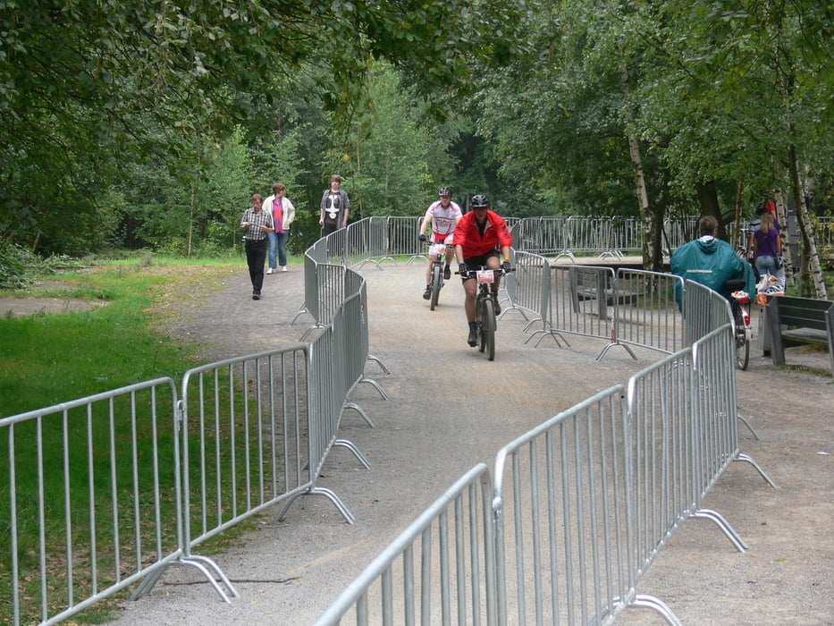
Von der A 42 Abfahrt Duisburg Neumühl. Richtung Landschaftspark Nord (Emscherstraße). Parkmöglichkeiten gegenüber des Tauchgasometers.
GPS-Tracks
Trackpoints-
GPX / Garmin Map Source (gpx) download
-
TCX / Garmin Training Center® (tcx) download
-
CRS / Garmin Training Center® (crs) download
-
Google Earth (kml) download
-
G7ToWin (g7t) download
-
TTQV (trk) download
-
Overlay (ovl) download
-
Fugawi (txt) download
-
Kompass (DAV) Track (tk) download
-
Формуляр маршрута (pdf) download
-
Original file of the author (gpx) download
More about the tour author
|
|
spockibaba |
Add to my favorites
Remove from my favorites
Edit tags
Open track
My score
Rate